gptkbp:instance_of
|
gptkb:National_Park
|
gptkbp:accessibility
|
multiple access points
|
gptkbp:activities
|
fishing
hiking
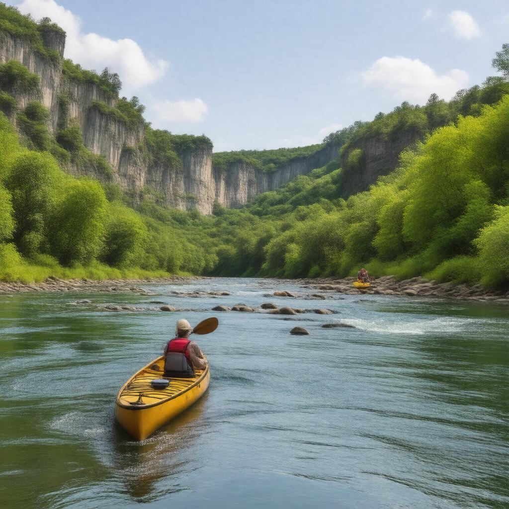
canoeing
|
gptkbp:area
|
80,000 acres
Scenic Riverway
|
gptkbp:climate
|
humid subtropical
|
gptkbp:conservation_status
|
gptkb:protected_area
|
gptkbp:cultural_significance
|
Native American history
settler history
|
gptkbp:educational_programs
|
workshops
guided tours
|
gptkbp:elevation
|
varies from 300 to 1,200 feet
|
gptkbp:established
|
gptkb:1971
|
gptkbp:fauna
|
various fish species
black bears
wild turkeys
|
gptkbp:features
|
gptkb:Jacks_Fork_River
Current River
|
gptkbp:flora
|
pine forests
wildflowers
oak-hickory forests
|
gptkbp:governing_body
|
gptkb:National_Park_Service
|
gptkbp:historical_site
|
historic mills
old homesteads
|
https://www.w3.org/2000/01/rdf-schema#label
|
Ozark National Scenic Riverways
|
gptkbp:is_popular_in
|
gptkb:spring
summer
fall
|
gptkbp:land_use
|
gptkb:education
gptkb:recreation
conservation
|
gptkbp:landforms
|
karst topography
|
gptkbp:location
|
gptkb:Missouri
|
gptkbp:management
|
conservation efforts
|
gptkbp:nearest_city
|
Van Buren
|
gptkbp:part_of
|
gptkb:National_Wild_and_Scenic_Rivers_System
|
gptkbp:recreation
|
gptkb:swimming
picnicking
camping
|
gptkbp:river
|
gptkb:Mississippi_River_system
|
gptkbp:scenic_views
|
gptkb:Ozark_Mountains
|
gptkbp:surrounding_area
|
gptkb:Ozark_National_Forest
gptkb:Mark_Twain_National_Forest
|
gptkbp:transportation
|
scenic byways
|
gptkbp:visitors
|
over 1 million annually
|
gptkbp:wildlife
|
gptkb:deer
eagles
otters
|
gptkbp:bfsParent
|
gptkb:West_Plains,_Missouri,_USA
gptkb:Ozark_National_Forest
gptkb:Ozark_Mountains
gptkb:Fort_Leonard_Wood,_Missouri,_USA
gptkb:Eleven_Point_River
|
gptkbp:bfsLayer
|
5
|