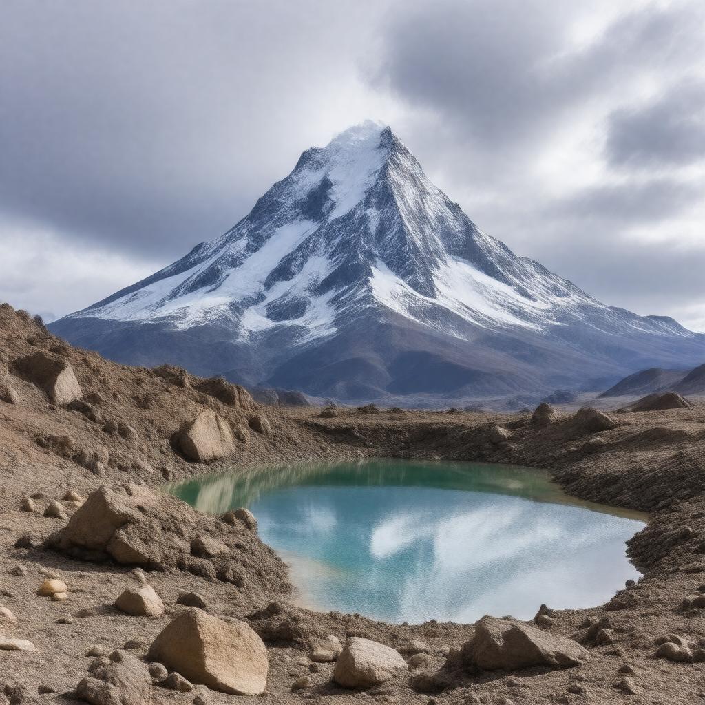
AI-created image
Statements (30)
| Predicate | Object |
|---|---|
| gptkbp:instanceOf |
gptkb:mountain
gptkb:stratovolcano |
| gptkbp:craterLakeElevation |
6390 m
|
| gptkbp:elevation |
6893 m
|
| gptkbp:firstAscent |
gptkb:Jan_Szczepański
gptkb:Justyn_Wojsznis 1937 |
| gptkbp:hasCrater |
yes
|
| gptkbp:highestPoint |
gptkb:Chile
|
| gptkbp:highestVolcano |
gptkb:world
|
| gptkbp:lastEruption |
1300 CE
|
| gptkbp:latitude |
27.1092° S
|
| gptkbp:locatedIn |
gptkb:Argentina
gptkb:Chile |
| gptkbp:location |
gptkb:Andes
|
| gptkbp:longitude |
68.5414° W
|
| gptkbp:mapType |
gptkb:Chile
|
| gptkbp:mountainRange |
gptkb:Andes
|
| gptkbp:notableFeature |
highest active volcano on Earth
|
| gptkbp:parentPeak |
gptkb:Aconcagua
|
| gptkbp:photo |
Ojos_del_Salado.jpg
|
| gptkbp:prominence |
3390 m
|
| gptkbp:route |
scramble
|
| gptkbp:secondHighestMountain |
gptkb:Western_Hemisphere
|
| gptkbp:type |
gptkb:stratovolcano
|
| gptkbp:volcanicArcBelt |
gptkb:Central_Volcanic_Zone
|
| gptkbp:bfsParent |
gptkb:Atacama_Desert
gptkb:Chile |
| gptkbp:bfsLayer |
4
|
| http://www.w3.org/2000/01/rdf-schema#label |
Ojos del Salado
|