Prompt
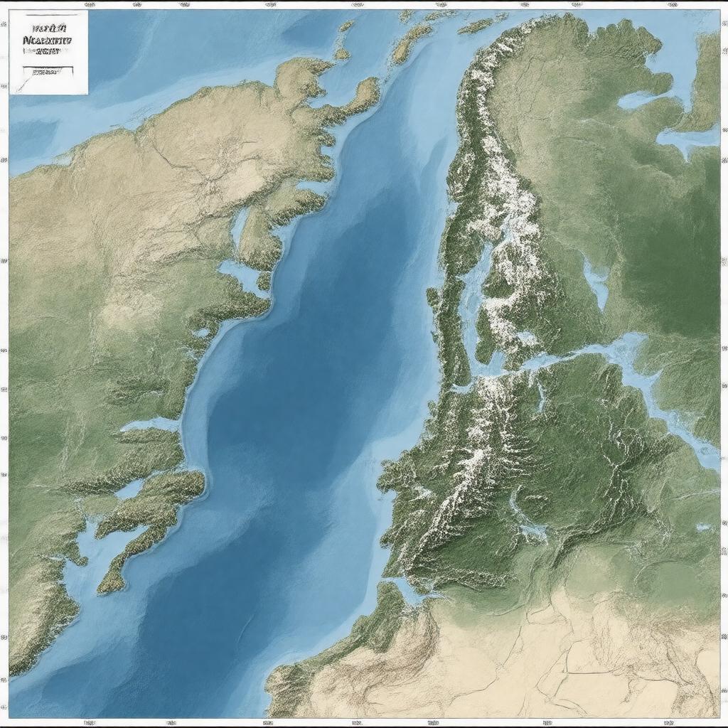
"Generate an image of a map of the North Atlantic Ocean, highlighting the Norwegian Exclusive Economic Zone (EEZ) in a transparent overlay, with its boundaries and neighboring EEZs of the United Kingdom, Russia, Iceland, Denmark, and the Faroe Islands. Include the locations of the Norwegian Sea, North Sea, Barents Sea, and Greenland Sea. The map should also show the areas surrounding Svalbard, Jan Mayen, and Bouvet Island. The style should be a realistic, high-resolution, geographical map with a muted color palette, suitable for illustrating the maritime jurisdiction of Norway."

