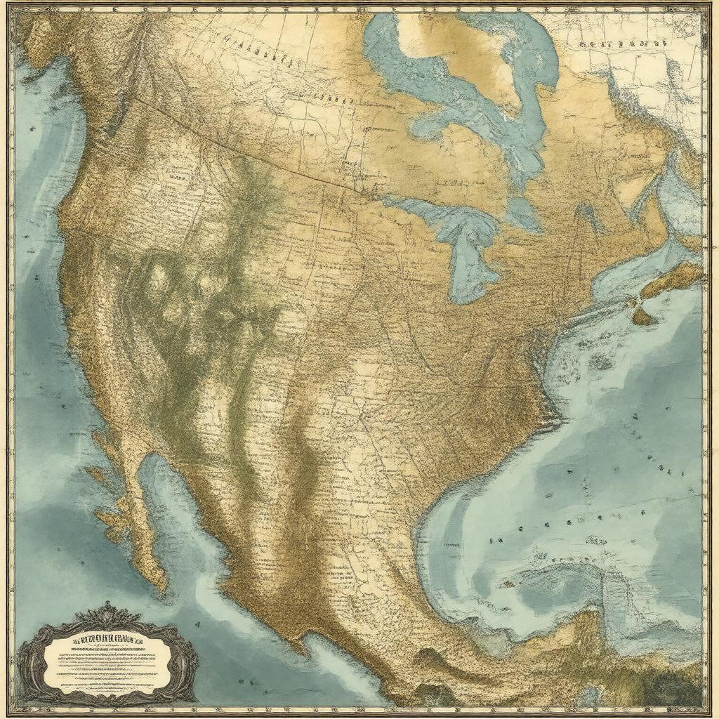
Prompt
"Generate an image of a historical map of the Northwest Territory, which was a historical region in the United States, established in 1787 and dissolved in 1803, encompassing present-day Ohio, Indiana, Illinois, Michigan, Wisconsin, and part of Minnesota, bordered by the Great Lakes, Mississippi River, Ohio River, and Canada, with notable cities such as Marietta, Chillicothe, and Cincinnati marked, in a style reminiscent of 18th-century cartography."

