Prompt
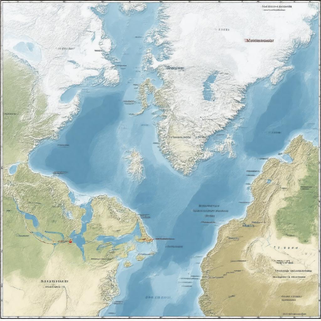
"Generate an image of a map of the Northwest Passage, a sea route in the Arctic Ocean, connecting the Atlantic Ocean to the Pacific Ocean through the Canadian Arctic Archipelago. The map should highlight the passage's length of approximately 1,450 km and notable straits such as Lancaster Sound, Barrow Strait, Prince of Wales Strait, and McClure Strait. Include historical exploration routes and depict the challenging navigation conditions due to ice, as well as the impact of climate change. Show the passage's significance as a shorter shipping route between Europe and Asia, with a seasonal accessibility increasing due to melting ice. The style should be a realistic and informative illustration, suitable for an educational or geographical context."

