gptkbp:instance_of
|
gptkb:river
|
gptkbp:climate
|
temperate climate
|
gptkbp:crosses
|
gptkb:Linn_County
gptkb:Marion_County
Santiam Canyon
|
gptkbp:cultural_significance
|
community events
local festivals
|
gptkbp:dam
|
gptkb:Detroit_Dam
gptkb:Big_Cliff_Dam
|
gptkbp:drainage_basin
|
1,200 square miles
|
gptkbp:environmental_concerns
|
water quality
habitat preservation
|
gptkbp:flood_control
|
flood management projects
|
gptkbp:geological_features
|
Cascades
|
gptkbp:historical_significance
|
Native American history
early settler routes
|
https://www.w3.org/2000/01/rdf-schema#label
|
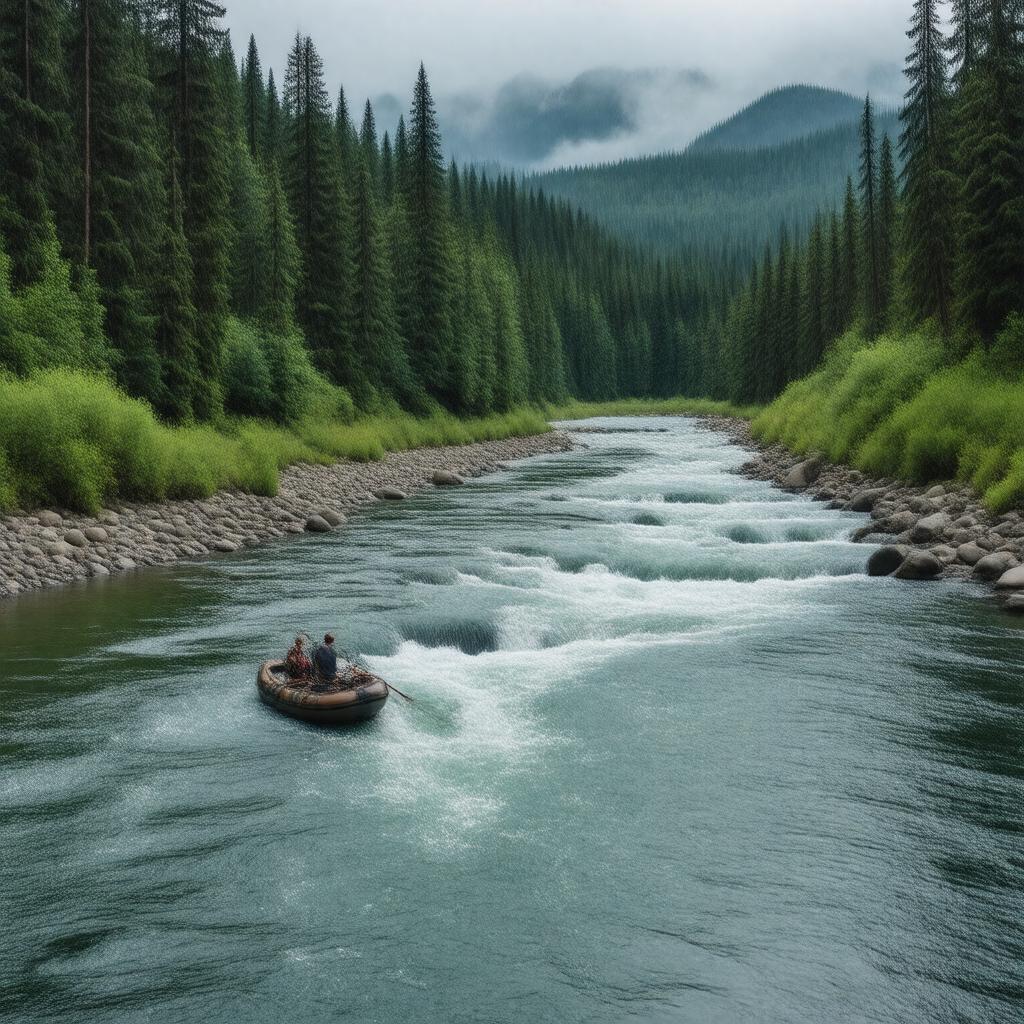
North Santiam River
|
gptkbp:landmark
|
gptkb:Santiam_Pass
gptkb:Detroit_Lake
gptkb:North_Santiam_River_Bridge
gptkb:Minto-Brown_Island_Park
Marion Forks
|
gptkbp:length
|
approximately 92 miles
|
gptkbp:local_economy
|
gptkb:tourism
fishing industry
recreation industry
|
gptkbp:location
|
gptkb:Oregon
|
gptkbp:mouth
|
gptkb:Willamette_River
|
gptkbp:part_of
|
gptkb:Willamette_Valley
|
gptkbp:recreation
|
fishing
hiking
rafting
|
gptkbp:scenic_views
|
North Santiam Highway
|
gptkbp:seasonal_activities
|
spring runoff
winter snowmelt
|
gptkbp:source
|
gptkb:Cascade_Range
|
gptkbp:survivability
|
partially navigable
|
gptkbp:tributary_of
|
gptkb:Willamette_River
|
gptkbp:water_source
|
municipal water supply
|
gptkbp:wildlife
|
gptkb:salmon
steelhead trout
|
gptkbp:bfsParent
|
gptkb:Scio,_Oregon
|
gptkbp:bfsLayer
|
7
|