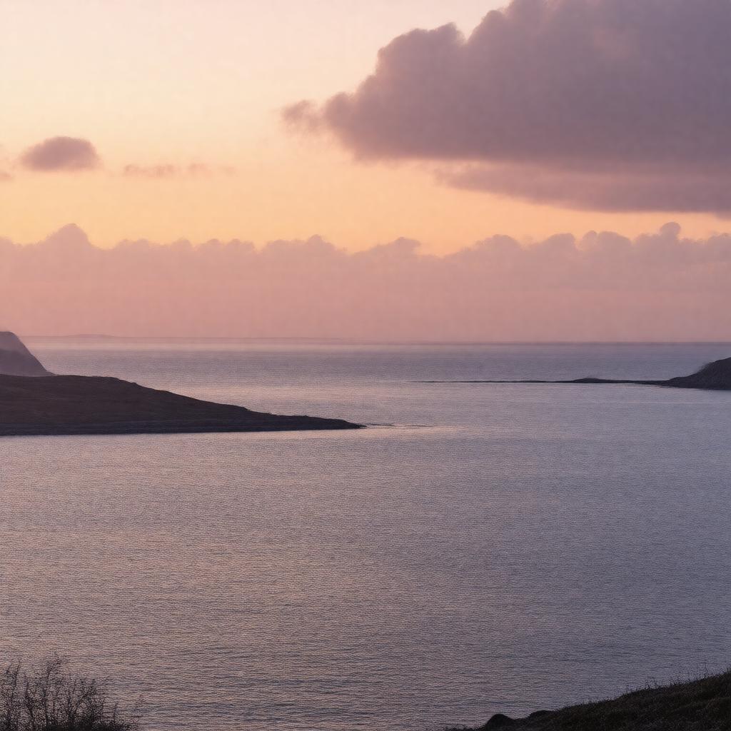
AI-created image
Statements (18)
| Predicate | Object |
|---|---|
| gptkbp:instanceOf |
gptkb:street
|
| gptkbp:alsoKnownAs |
gptkb:Straits_of_Moyle
|
| gptkbp:connects |
gptkb:Atlantic_Ocean
gptkb:Irish_Sea |
| gptkbp:hasIsland |
gptkb:Rathlin_Island
gptkb:Mull_of_Kintyre |
| gptkbp:locatedIn |
gptkb:Ireland
gptkb:United_Kingdom |
| gptkbp:maximumDepth |
275 meters
|
| gptkbp:notableEvent |
World War II naval operations
site of North Channel swim crossings |
| gptkbp:partOf |
gptkb:Great_Britain_and_Ireland_waterway_system
|
| gptkbp:separates |
gptkb:Northern_Ireland
gptkb:Scotland |
| gptkbp:width |
19 kilometers
|
| gptkbp:bfsParent |
gptkb:Irish_Sea
|
| gptkbp:bfsLayer |
4
|
| http://www.w3.org/2000/01/rdf-schema#label |
North Channel
|