Norfolk County, Massachusetts

GPTKB entity
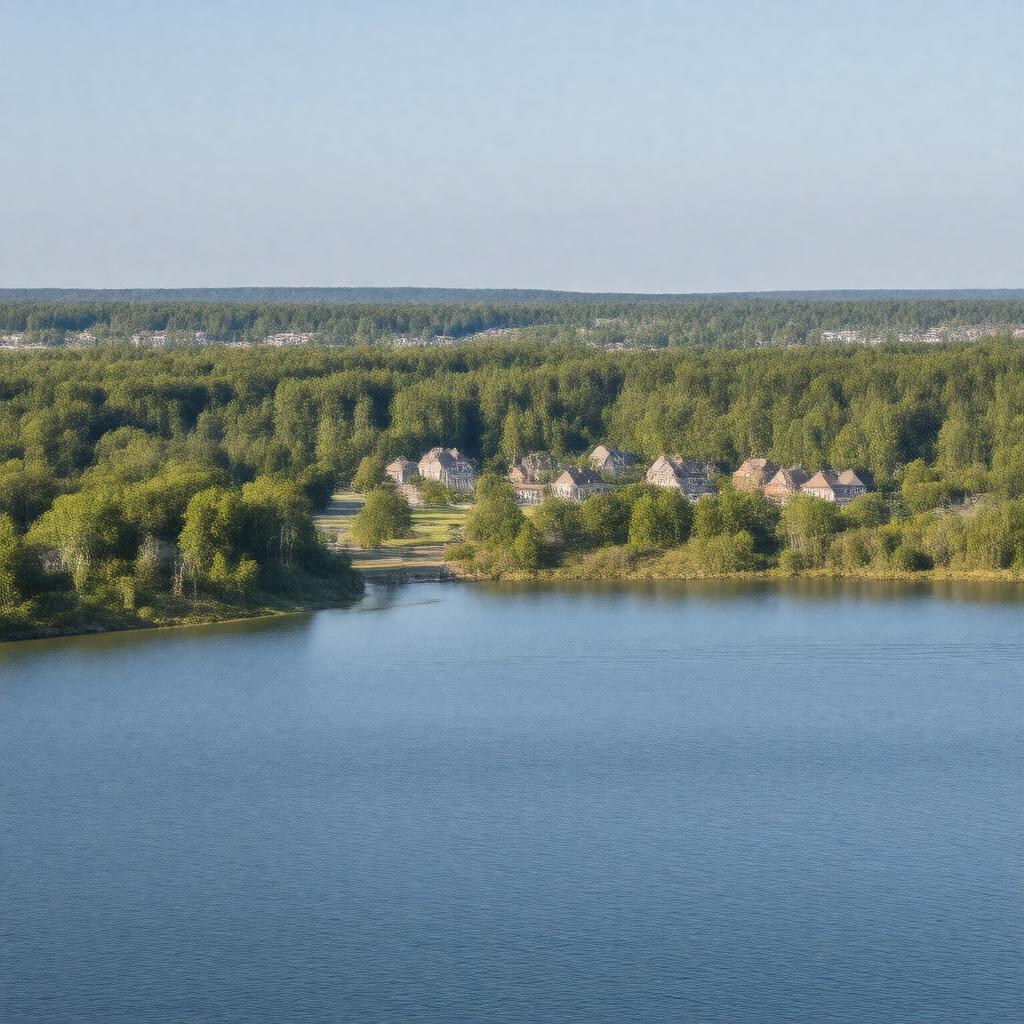
Statements (53)
Predicate Object
gptkbp:instance_of gptkb:County
gptkbp:area 1,150 square miles
gptkbp:borders gptkb:Bristol_County
gptkb:Worcester_County
gptkb:Plymouth_County
gptkb:Suffolk_County
gptkbp:contains 20 towns
gptkbp:demographics Median household income: $100,000
Ethnic composition: 80% White, 10% Hispanic, 5% Black, 5% Asian
Population density: 600 people per square mile
Age distribution: 25% under 18, 60% between 18 and 64, 15% 65 and older
gptkbp:economy gptkb:Retail
gptkb:Education
Finance
Healthcare
Manufacturing
gptkbp:established 1793
gptkbp:governed_by County Commissioners
gptkbp:government gptkb:Sheriff
gptkb:County
gptkb:Supreme_Court_of_the_United_States
Probate and Family Court
District Attorney's office
gptkbp:has_airport gptkb:Franklin_Municipal_Airport
gptkb:Norwood_Memorial_Airport
gptkbp:has_county_seat Dedham
gptkbp:has_events gptkb:Norfolk_County_Agricultural_Fair
Foxborough Founders Day
Mansfield Music and Arts Festival
Medfield Day
Walpole Day
gptkbp:has_park gptkb:Blue_Hills_Reservation
gptkb:Francis_William_Bird_Park
Morse Park
gptkbp:has_public_transport gptkb:MBTA
gptkbp:historical_site gptkb:Norfolk_County_Courthouse
gptkb:Franklin_Historical_Museum
gptkb:Dedham_Historical_Society
gptkb:Holliston_Historical_Society
https://www.w3.org/2000/01/rdf-schema#label Norfolk County, Massachusetts
gptkbp:major_highway gptkb:Massachusetts_Route_128
gptkb:Interstate_95
gptkb:Interstate_495
gptkb:U._S._Route_1
gptkbp:part_of gptkb:Massachusetts
gptkbp:population 692,000
gptkbp:school_district gptkb:Norfolk_County_Agricultural_High_School
gptkb:Mansfield_Public_Schools
gptkb:Medfield_Public_Schools
gptkb:Foxborough_Public_Schools
gptkb:Walpole_Public_Schools
gptkbp:bfsParent gptkb:Adams_National_Historical_Park
gptkbp:bfsLayer 4