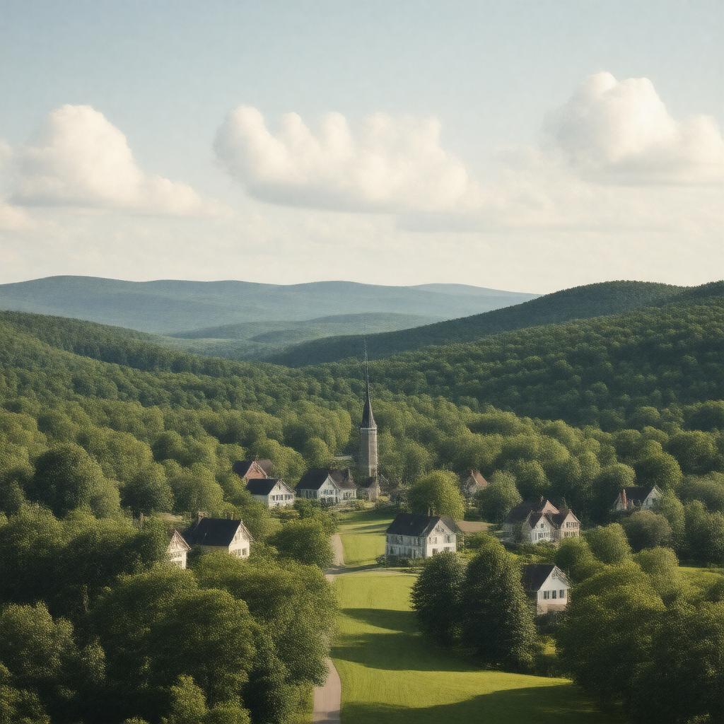
AI-created image
Statements (27)
| Predicate | Object |
|---|---|
| gptkbp:instanceOf |
gptkb:town
|
| gptkbp:areaCode |
413
|
| gptkbp:areaLandKm2 |
32.1
|
| gptkbp:areaTotalKm2 |
32.1
|
| gptkbp:areaWaterKm2 |
0.0
|
| gptkbp:borderedBy |
gptkb:Williamstown
gptkb:Adams gptkb:Lanesborough Hancock |
| gptkbp:elevationM |
573
|
| gptkbp:FIPS_code |
25-44810
|
| gptkbp:firstIncorporated |
1835
|
| gptkbp:GNIS_feature_ID |
0618272
|
| gptkbp:governmentType |
open town meeting
|
| gptkbp:incorporated |
1835
|
| gptkbp:locatedIn |
gptkb:Berkshire_County
gptkb:Massachusetts gptkb:United_States |
| gptkbp:notableEvent |
First town in the United States to vote in the 1920 presidential election after the passage of the 19th Amendment
|
| gptkbp:population |
228
|
| gptkbp:populationAsOf |
2020
|
| gptkbp:schoolDistrict |
gptkb:Mount_Greylock_Regional_School_District
|
| gptkbp:timezone |
Eastern
|
| gptkbp:zipCode |
01237
|
| gptkbp:bfsParent |
gptkb:Berkshire_County
|
| gptkbp:bfsLayer |
5
|
| http://www.w3.org/2000/01/rdf-schema#label |
New Ashford
|