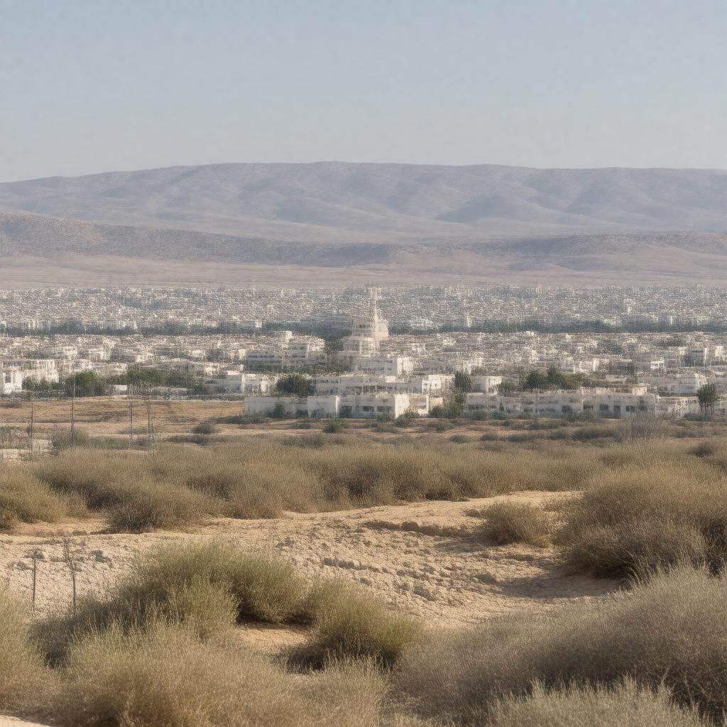
Statements (68)
Predicate | Object |
---|---|
gptkbp:instance_of |
gptkb:City
|
gptkbp:area |
approximately 10.5 km²
|
gptkbp:artwork |
Local art galleries
|
gptkbp:celebrates |
Holidays and festivals celebrated widely
|
gptkbp:civic_engagement |
Active community participation
Various NGOs and civic groups |
gptkbp:climate |
Hot desert climate
|
gptkbp:community |
Strong community ties
|
gptkbp:community_events |
Regular community gatherings and events
|
gptkbp:community_service |
Social services for residents
|
gptkbp:community_support |
Support for local charities and initiatives
|
gptkbp:coordinates |
31.4667° N, 34.5833° E
|
gptkbp:cuisine |
Local restaurants serving Middle Eastern food
|
gptkbp:cultural_diversity |
Culturally diverse community
|
gptkbp:cultural_heritage |
Preservation of cultural heritage sites
|
gptkbp:cultural_significance |
Home to many synagogues
|
gptkbp:demographics |
Diverse population including Jews and Bedouins
|
gptkbp:district |
Southern District
|
gptkbp:economic_development |
Focus on sustainable development
Ongoing urban development projects |
gptkbp:economy |
Retail and agriculture
|
gptkbp:education |
Several schools and educational institutions
|
gptkbp:environment |
Surrounded by natural landscapes
|
gptkbp:environmental_initiatives |
Programs for environmental conservation
|
gptkbp:established |
gptkb:1956
|
gptkbp:events |
Annual cultural festivals
|
gptkbp:founded_by |
Jewish immigrants from North Africa
|
gptkbp:governed_by |
gptkb:Mayor
|
gptkbp:government_type |
gptkb:local_government
|
gptkbp:has_cultural_institution |
Museums and cultural centers
|
gptkbp:has_public_services |
Public libraries and community centers
|
gptkbp:has_public_transport |
Bus services
|
gptkbp:has_transport_link |
Connected to major highways
|
gptkbp:healthcare |
Local clinics and hospitals
|
gptkbp:historical_significance |
Site of ancient settlements
|
gptkbp:historical_site |
Several historical sites of interest
|
gptkbp:history |
Rich history dating back centuries
|
https://www.w3.org/2000/01/rdf-schema#label |
Netivot
|
gptkbp:infrastructure |
Developing infrastructure projects
|
gptkbp:known_for |
its religious significance
|
gptkbp:landmarks |
gptkb:The_Tomb_of_Rabbi_Shimon_Bar_Yochai
|
gptkbp:local_economy |
Growing local businesses
Retail, agriculture, and services. |
gptkbp:local_government |
gptkb:municipality
Mayor and city council |
gptkbp:local_history |
Documented history of settlement and growth
|
gptkbp:local_newspaper |
Local newspapers and radio stations
|
gptkbp:located_in |
gptkb:Israel
|
gptkbp:neighboring_city |
gptkb:Sderot
|
gptkbp:parks |
Parks and recreational areas
|
gptkbp:part_of |
gptkb:Negev_desert
|
gptkbp:population |
approximately 30,000
|
gptkbp:population_trend |
Growing population trends
|
gptkbp:religion |
Predominantly Jewish population
|
gptkbp:safety |
Community safety initiatives
|
gptkbp:security |
Local police and emergency services
|
gptkbp:sister_city |
Several international sister cities
|
gptkbp:sport |
Local sports teams
|
gptkbp:time_zone |
gptkb:Israel_Standard_Time
|
gptkbp:tourism |
Attracts visitors for religious tourism
|
gptkbp:tradition |
Rich traditions and customs
|
gptkbp:transportation |
Bicycle paths and pedestrian walkways
Access via Route 25 |
gptkbp:website |
www.netivot.muni.il
|
gptkbp:youth_programs |
Various programs for youth engagement
|
gptkbp:bfsParent |
gptkb:Southern_District_of_Israel
gptkb:Sderot_Municipality |
gptkbp:bfsLayer |
6
|