gptkbp:instanceOf
|
gptkb:river
|
gptkbp:basinSize
|
312 square miles
|
gptkbp:country
|
gptkb:United_States
|
gptkbp:flowsThrough
|
gptkb:Waterbury,_Connecticut
gptkb:Derby,_Connecticut
gptkb:Naugatuck,_Connecticut
|
gptkbp:hasBridge
|
gptkb:Maple_Street_Bridge
gptkb:Whittemore_Bridge
|
gptkbp:hasDam
|
gptkb:Derby_Dam
gptkb:Anaconda_Dam
gptkb:Ansonia_Dam
gptkb:Beacon_Falls_Dam
gptkb:Chase_Brass_Dam
gptkb:Kinneytown_Dam
gptkb:Platts_Mill_Dam
gptkb:Plume_&_Atwood_Dam
gptkb:Seymour_Dam
gptkb:Torrington_Lower_Dam
gptkb:Torrington_Upper_Dam
gptkb:Union_City_Dam
gptkb:Waterbury_Dam
|
gptkbp:hasPark
|
gptkb:Derby_Greenway
gptkb:Hop_Brook_Lake_Recreation_Area
gptkb:Naugatuck_State_Forest
gptkb:Riverwalk_Greenway
|
gptkbp:hasPollutionHistory
|
industrial pollution
|
gptkbp:hasRecreation
|
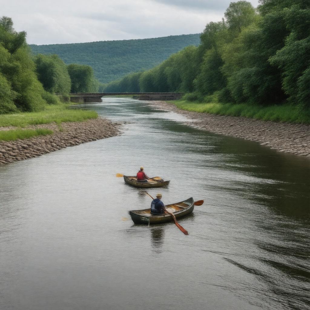
birdwatching
canoeing
fishing
hiking
kayaking
|
gptkbp:hasRestorationEffort
|
gptkb:Naugatuck_River_Restoration
|
gptkbp:hasTributary
|
gptkb:Great_Brook
gptkb:Pine_Brook
gptkb:Little_River
gptkb:Mad_River
gptkb:Still_River
gptkb:Beacon_Hill_Brook
gptkb:Brandy_Brook
gptkb:Cold_Spring_Brook
gptkb:East_Branch_Naugatuck_River
gptkb:Fulling_Mill_Brook
gptkb:Hop_Brook
gptkb:Indian_Field_Brook
gptkb:Long_Meadow_Brook
gptkb:Spruce_Brook
gptkb:West_Branch_Naugatuck_River
|
gptkbp:hasWatershedOrganization
|
gptkb:Naugatuck_River_Watershed_Association
|
gptkbp:hasWildlife
|
gptkb:bird
gptkb:fish
gptkb:lake
gptkb:bass_guitar
osprey
|
https://www.w3.org/2000/01/rdf-schema#label
|
Naugatuck River
|
gptkbp:length
|
40.2 miles
|
gptkbp:locatedIn
|
gptkb:Connecticut
|
gptkbp:mouth
|
gptkb:Housatonic_River
|
gptkbp:source
|
gptkb:Torrington,_Connecticut
|
gptkbp:tributaryOf
|
gptkb:Housatonic_River
|
gptkbp:bfsParent
|
gptkb:Housatonic_River
gptkb:Long_Island_Sound
gptkb:Waterbury
gptkb:Waterbury,_Connecticut
gptkb:Waterbury,_Connecticut,_United_States
|
gptkbp:bfsLayer
|
5
|