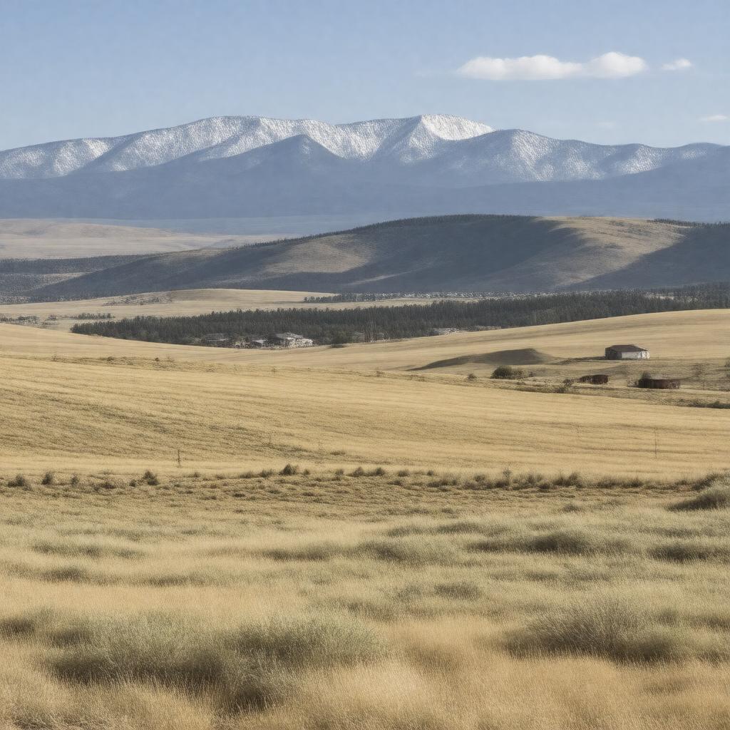
gptkbp:instance_of
|
gptkb:County
|
gptkbp:area
|
5,371 square miles
|
gptkbp:borders
|
gptkb:Fremont_County
gptkb:Park_County
gptkb:Sweetwater_County
gptkb:Albany_County
gptkb:Carbon_County
gptkb:Washakie_County
gptkb:Hot_Springs_County
gptkb:Converse_County
|
gptkbp:contains
|
gptkb:Natrona_County_International_Airport
|
gptkbp:cultural_events
|
gptkb:Wyoming_State_Fair
gptkb:Casper_Art_Walk
gptkb:Central_Wyoming_Fair_and_Rodeo
gptkb:Annual_Casper_Marathon
Casper College Events
|
gptkbp:demographics
|
Diverse population
|
gptkbp:education
|
gptkb:Natrona_County_School_District
gptkb:University_of_Wyoming
|
gptkbp:elevation
|
5,200 feet
|
gptkbp:founded
|
1869
|
gptkbp:geographical_feature
|
gptkb:Red_Desert
gptkb:North_Platte_River
gptkb:Laramie_Mountains
gptkb:Wind_River_Range
|
gptkbp:government_type
|
gptkb:Board_of_Commissioners
|
gptkbp:has_county_seat
|
gptkb:Casper
|
gptkbp:has_public_transport
|
gptkb:Casper_Area_Transportation_Coalition
|
gptkbp:historical_significance
|
gptkb:Agriculture
Mining
Oil and gas industry
|
https://www.w3.org/2000/01/rdf-schema#label
|
Natrona County
|
gptkbp:located_in
|
gptkb:Wyoming
|
gptkbp:major_highway
|
gptkb:Wyoming_Highway_487
gptkb:Wyoming_Highway_220
gptkb:Wyoming_Highway_254
gptkb:Interstate_25
gptkb:U._S._Route_1
gptkb:U._S._Route_29
|
gptkbp:notable_person
|
gptkb:Mike_Enzi
gptkb:Matt_Mead
gptkb:Cynthia_Lummis
gptkb:John_H._Mc_Cormick
gptkb:Dave_Freudenthal
|
gptkbp:parks
|
gptkb:Edness_K._Wilkins_State_Park
gptkb:Casper_Mountain
gptkb:Beartrap_Meadow
gptkb:Alcova_Reservoir
gptkb:Pathfinder_Reservoir
|
gptkbp:part_of
|
gptkb:United_States
|
gptkbp:population
|
approximately 80,000
|
gptkbp:time_zone
|
Mountain Standard Time
|
gptkbp:website
|
natronacounty-wy.gov
|
gptkbp:bfsParent
|
gptkb:Teapot_Dome,_Wyoming
gptkb:Casper,_Wyoming
gptkb:District_of_Wyoming
|
gptkbp:bfsLayer
|
5
|