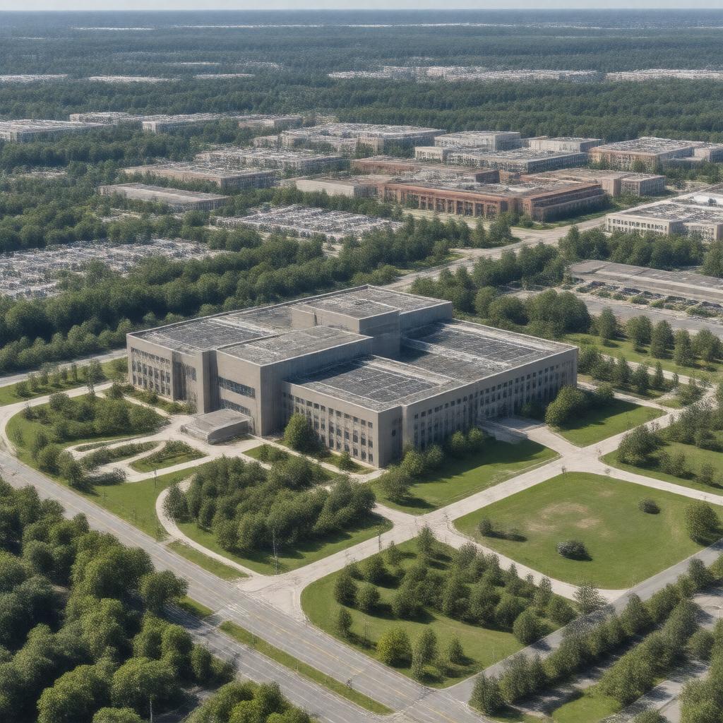
gptkbp:instanceOf
|
government agency
|
gptkbp:analyzes
|
remote sensing
|
gptkbp:budget
|
$3 billion (2021)
|
gptkbp:collaboratesWith
|
gptkb:National_Security_Agency
|
gptkbp:conductsResearchOn
|
geospatial technologies
|
gptkbp:contributedTo
|
disaster response
|
gptkbp:coordinatesWith
|
gptkb:National_Reconnaissance_Office
|
gptkbp:developer
|
geospatial analysis
|
gptkbp:developsStrategiesFor
|
national security
|
gptkbp:director
|
gptkb:Vice_Admiral_Robert_Sharp
|
gptkbp:electronic_warfare
|
disaster management
U.S._government_agencies
|
gptkbp:employees
|
approximately 15,000
|
gptkbp:engagesIn
|
public outreach
international partnerships
|
gptkbp:founded
|
2003
|
gptkbp:hasCollaborationsWith
|
private sector companies
|
gptkbp:hasDescription
|
sustainability
|
gptkbp:hasFilm
|
Acquisition
Analysis
Operations
Support Services
Research_and_Development
|
gptkbp:hasHistory
|
established_from_the_National_Imagery_and_Mapping_Agency
|
gptkbp:hasMember
|
for students
|
gptkbp:hasPartnershipsWith
|
academic institutions
|
gptkbp:hasPrograms
|
community engagement
|
gptkbp:hasPublications
|
NGA_publications
|
gptkbp:hasRole
|
national defense
|
gptkbp:headquarters
|
gptkb:Springfield,_Virginia
|
https://www.w3.org/2000/01/rdf-schema#label
|
National Geospatial-Intelligence Agency
|
gptkbp:involvedIn
|
counterterrorism efforts
|
gptkbp:isActiveIn
|
international security
|
gptkbp:isEngagedIn
|
cybersecurity efforts
|
gptkbp:isInvolvedIn
|
urban planning
environmental monitoring
transportation planning
intelligence sharing.
|
gptkbp:isResponsibleFor
|
geospatial data collection
|
gptkbp:keyPeople
|
gptkb:Robert_Cardillo
|
gptkbp:mission
|
to provide timely, relevant, and accurate geospatial intelligence
|
gptkbp:parentOrganization
|
gptkb:United_States_Department_of_Defense
|
gptkbp:participatesIn
|
conferences
|
gptkbp:partOf
|
gptkb:U.S._Intelligence_Community
|
gptkbp:primaryFunction
|
geospatial intelligence
|
gptkbp:provides
|
emergency responders
|
gptkbp:providesServices
|
federal agencies
|
gptkbp:providesSupportFor
|
gptkb:U.S._military
military operations
|
gptkbp:providesTrainingFor
|
U.S._military_personnel
|
gptkbp:supports
|
climate change
scientific research
humanitarian missions
|
gptkbp:training
|
mapping and imagery
|
gptkbp:usesTechnology
|
satellite imagery
|
gptkbp:utilizes
|
geospatial data
|
gptkbp:website
|
nga.mil
|
gptkbp:worksWith
|
foreign governments
|