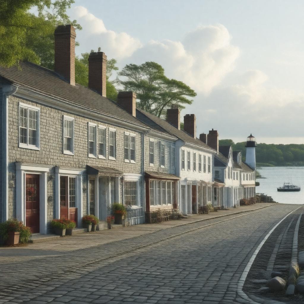
AI-created image
Statements (35)
| Predicate | Object |
|---|---|
| gptkbp:instanceOf |
gptkb:census-designated_place
gptkb:Town |
| gptkbp:areaCode |
508
774 |
| gptkbp:areaLandKm2 |
27.8
|
| gptkbp:areaTotalKm2 |
29.0
|
| gptkbp:areaWaterKm2 |
1.2
|
| gptkbp:country |
gptkb:United_States
|
| gptkbp:elevationM |
3
|
| gptkbp:FIPS_code |
25-43790
|
| gptkbp:GNIS_feature_ID |
0615382
|
| gptkbp:governmentType |
Open town meeting
|
| gptkbp:hasLandmark |
gptkb:Brant_Point_Light
gptkb:Nantucket_Whaling_Museum gptkb:First_Congregational_Church gptkb:Jared_Coffin_House gptkb:Oldest_House |
| gptkbp:hasPart |
gptkb:Siasconset
gptkb:Brant_Point gptkb:Madaket |
| gptkbp:incorporated |
1671
|
| gptkbp:locatedIn |
gptkb:Massachusetts
gptkb:Nantucket_County gptkb:Nantucket_Island |
| gptkbp:namedFor |
gptkb:Nantucket_Island
|
| gptkbp:notableFor |
historic architecture
tourism historic whaling port |
| gptkbp:population |
7,446
|
| gptkbp:populationAsOf |
2020
|
| gptkbp:postalCode |
02554
|
| gptkbp:timezone |
Eastern
|
| gptkbp:bfsParent |
gptkb:Nantucket_Historic_District
|
| gptkbp:bfsLayer |
5
|
| http://www.w3.org/2000/01/rdf-schema#label |
Nantucket Town
|