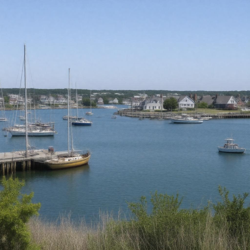
AI-created image
Statements (24)
| Predicate | Object |
|---|---|
| gptkbp:instanceOf |
gptkb:harbor
|
| gptkbp:accessibleBy |
gptkb:Nantucket_Ferry
|
| gptkbp:coordinates |
41.2856°N 70.0964°W
|
| gptkbp:country |
gptkb:United_States
|
| gptkbp:hasLighthouse |
gptkb:Brant_Point_Light
Range Lights |
| gptkbp:hasMarina |
gptkb:Nantucket_Boat_Basin
|
| gptkbp:historicalSignificance |
gptkb:whaling_industry
|
| gptkbp:location |
gptkb:Nantucket,_Massachusetts
|
| gptkbp:maximumDepth |
varies, generally shallow
|
| gptkbp:notableLandmark |
gptkb:Brant_Point_Light
gptkb:Nantucket_Boat_Basin |
| gptkbp:partOf |
gptkb:Nantucket_Sound
|
| gptkbp:region |
gptkb:New_England
|
| gptkbp:serves |
gptkb:Nantucket_Island
|
| gptkbp:touristAttraction |
yes
|
| gptkbp:usedFor |
recreational boating
commercial fishing ferry transportation |
| gptkbp:waterSource |
gptkb:Atlantic_Ocean
|
| gptkbp:bfsParent |
gptkb:Nantucket_Historic_District
gptkb:Nantucket_Island |
| gptkbp:bfsLayer |
5
|
| http://www.w3.org/2000/01/rdf-schema#label |
Nantucket Harbor
|