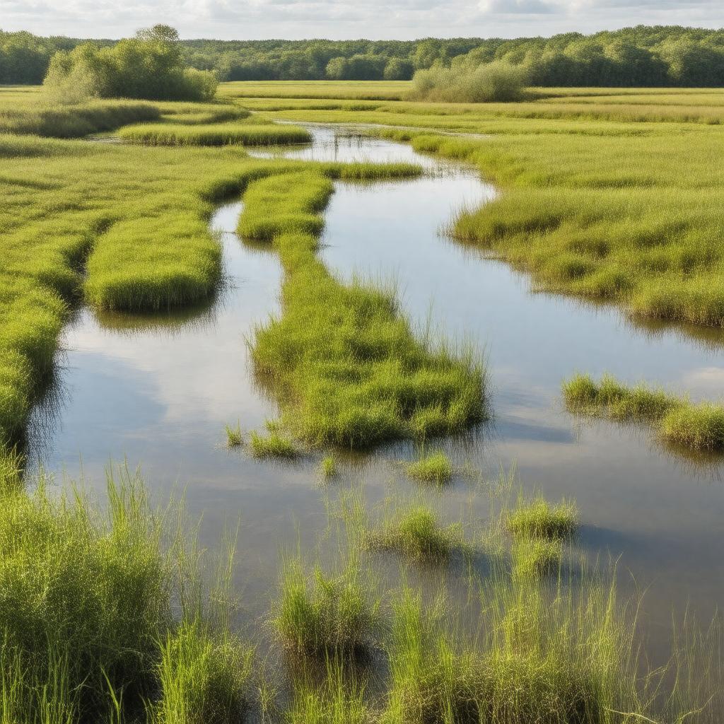
AI-created image
Statements (31)
| Predicate | Object |
|---|---|
| gptkbp:instanceOf |
gptkb:wetlands
|
| gptkbp:area |
305 acres
|
| gptkbp:coordinates |
41.4847°N 90.6072°W
|
| gptkbp:country |
gptkb:United_States
|
| gptkbp:ecosystem |
freshwater marsh
|
| gptkbp:environmentalImpact |
lead contamination
|
| gptkbp:features |
gptkb:student
trails boardwalks |
| gptkbp:habitat |
birds
insects amphibians mammals reptiles |
| gptkbp:historicalName |
trap and skeet shooting range
|
| gptkbp:location |
gptkb:Davenport,_Iowa
|
| gptkbp:managedBy |
gptkb:Nahant_Marsh_Education_Center
|
| gptkbp:openToPublic |
yes
|
| gptkbp:ownedBy |
gptkb:U.S._Army_Corps_of_Engineers
gptkb:City_of_Davenport |
| gptkbp:partOf |
gptkb:Upper_Mississippi_River_floodplain
|
| gptkbp:recognizedBy |
gptkb:U.S._Environmental_Protection_Agency
gptkb:Iowa_Department_of_Natural_Resources |
| gptkbp:restorationBegan |
1999
|
| gptkbp:revitalizationEfforts |
lead remediation
|
| gptkbp:usedFor |
gptkb:research
environmental education wildlife observation |
| gptkbp:bfsParent |
gptkb:Nahant_Bay
|
| gptkbp:bfsLayer |
5
|
| http://www.w3.org/2000/01/rdf-schema#label |
Nahant Marsh
|