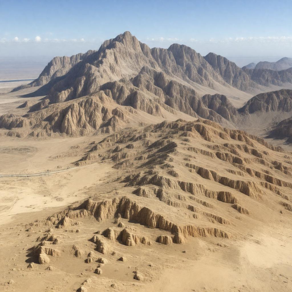
AI-created image
Statements (35)
| Predicate | Object |
|---|---|
| gptkbp:instanceOf |
gptkb:mountain_range
|
| gptkbp:borderedBy |
gptkb:Sahara_Desert
gptkb:Jafara_plain |
| gptkbp:climate |
semi-arid
|
| gptkbp:containsTown |
gptkb:Gharyan
gptkb:Jadu gptkb:Kabaw gptkb:Nalut gptkb:Rujban gptkb:Yafran gptkb:Zintan Qalaa |
| gptkbp:elevation |
968 meters
|
| gptkbp:geology |
gptkb:limestone
gptkb:stone |
| gptkbp:highestPoint |
gptkb:Qarqar_al-Sadadah
|
| gptkbp:historicalEvent |
gptkb:2011_anti-Gaddafi_uprising
gptkb:Berber_Revolt |
| gptkbp:inhabitedBy |
gptkb:Amazigh
gptkb:Berbers |
| gptkbp:knownFor |
gptkb:2011_Libyan_Civil_War
historical resistance olive cultivation |
| gptkbp:languageSpoken |
gptkb:Arabic
gptkb:Tamazight |
| gptkbp:length |
about 200 km
|
| gptkbp:locatedIn |
gptkb:Libya
gptkb:Northwest_Libya |
| gptkbp:partOf |
gptkb:Tripolitania
|
| gptkbp:runsThrough |
near Gharyan
near Nalut |
| gptkbp:UNESCO_tentative_list |
yes
|
| gptkbp:bfsParent |
gptkb:Ibadi
|
| gptkbp:bfsLayer |
5
|
| http://www.w3.org/2000/01/rdf-schema#label |
Nafusa Mountains
|