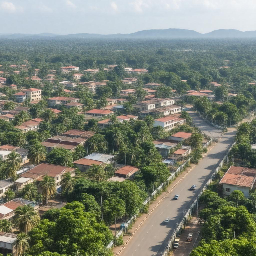
AI-created image
Statements (23)
| Predicate | Object |
|---|---|
| gptkbp:instanceOf |
gptkb:town
|
| gptkbp:areaCode |
041
|
| gptkbp:climate |
tropical rainforest climate
|
| gptkbp:coordinates |
0.3531°N 32.7553°E
|
| gptkbp:country |
gptkb:Uganda
|
| gptkbp:distanceFromNairobi |
about 21 km east
|
| gptkbp:district |
gptkb:Mukono_District
|
| gptkbp:elevation |
1,200 m
|
| gptkbp:leaderTitle |
gptkb:Mayor
|
| gptkbp:locatedOn |
gptkb:Kampala–Jinja_Highway
|
| gptkbp:market |
gptkb:Mukono_Central_Market
|
| gptkbp:notableInstitution |
gptkb:Mukono_District_Administration
gptkb:Mukono_Health_Centre_IV gptkb:Uganda_Christian_University |
| gptkbp:population |
over 161,996 (2020 estimate)
|
| gptkbp:postalCode |
256
|
| gptkbp:region |
gptkb:Central_Region,_Uganda
|
| gptkbp:subdivision |
gptkb:municipality
|
| gptkbp:timezone |
EAT
|
| gptkbp:utcOffset |
+3
|
| gptkbp:bfsParent |
gptkb:Guildford,_Surrey,_England
|
| gptkbp:bfsLayer |
5
|
| http://www.w3.org/2000/01/rdf-schema#label |
Mukono, Uganda
|