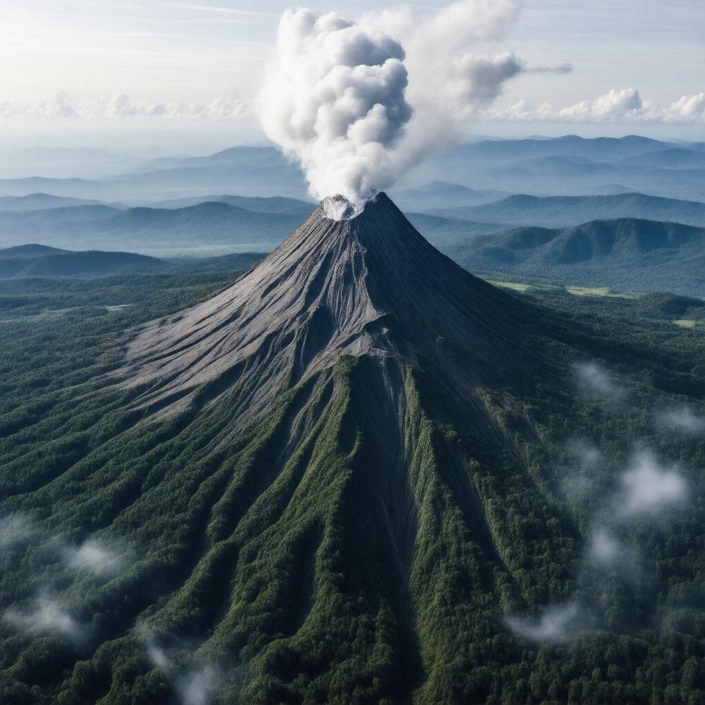
Properties (56)
Predicate | Object |
---|---|
gptkbp:instanceOf |
volcano
|
gptkbp:affiliatedWith |
gptkb:Karo_Regency
|
gptkbp:associatedWith |
gptkb:Sumatran_Fault
|
gptkbp:climate |
tropical
|
gptkbp:climbRate |
moderate
|
gptkbp:community_involvement |
rescue operations
disaster preparedness relief efforts evacuation plans recovery programs |
gptkbp:coordinates |
3.1714° N
98.3922° E |
gptkbp:culturalHeritage |
Karo people
|
gptkbp:elevation |
2460 meters
|
gptkbp:environmentalImpact |
deforestation
soil erosion water contamination biodiversity loss |
gptkbp:firstAwarded |
2010
|
gptkbp:flora |
tropical rainforest
|
gptkbp:geologicalFeatures |
gptkb:Sumatra
active evacuations explosive subduction zone displacement of residents andesite health hazards agricultural damage air travel disruptions VEI_4 |
gptkbp:historicalResearch |
geological surveys
volcanic gas emissions monitoring technology seismic activity studies eruption prediction |
gptkbp:historicalSignificance |
sacred site
|
https://www.w3.org/2000/01/rdf-schema#label |
Mount Sinabung
|
gptkbp:is_monitored_by |
gptkb:Indonesian_Center_for_Volcanology_and_Geological_Hazard_Mitigation
|
gptkbp:isEngagedIn |
1600
|
gptkbp:lastProduced |
2014
2021 |
gptkbp:location |
Indonesia
|
gptkbp:notable_player |
lahars
pyroclastic flows ashfall |
gptkbp:notableFeature |
2013
2014 2016 2018 2020 |
gptkbp:prominence |
1200 meters
|
gptkbp:range |
Bukit Barisan
|
gptkbp:researchInterest |
volcanology
|
gptkbp:tourism |
hiking
|
gptkbp:type |
stratovolcano
|