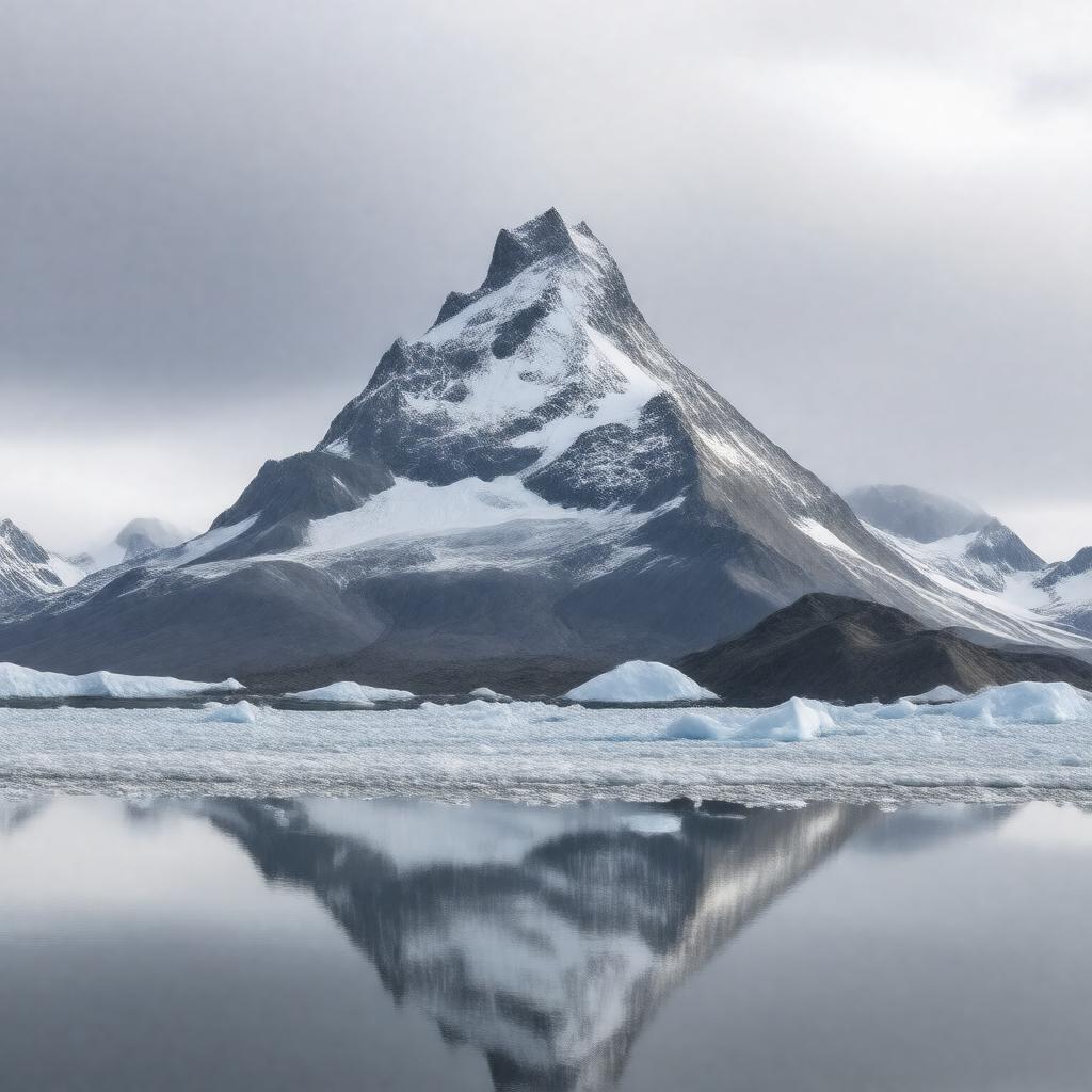
AI-created image
Statements (21)
| Predicate | Object |
|---|---|
| gptkbp:instanceOf |
gptkb:stratovolcano
|
| gptkbp:activeIn |
true
|
| gptkbp:elevation |
2857 meters
|
| gptkbp:firstAscent |
1932
|
| gptkbp:hasSummit |
gptkb:sea_ice
|
| gptkbp:lastEruption |
2023
|
| gptkbp:latitude |
54.7569
|
| gptkbp:locatedIn |
gptkb:Alaska
gptkb:United_States |
| gptkbp:location |
gptkb:Unimak_Island
|
| gptkbp:longitude |
-163.9692
|
| gptkbp:mapType |
313310
|
| gptkbp:namedAfter |
Aleut word 'Sisquk'
|
| gptkbp:notableFeature |
most symmetrical cone-shaped volcano in the world
|
| gptkbp:partOf |
gptkb:Alaska_Peninsula_and_Aleutian_Islands
|
| gptkbp:prominence |
2857 meters
|
| gptkbp:range |
gptkb:Aleutian_Range
|
| gptkbp:volcanicArcBelt |
gptkb:Aleutian_Arc
|
| gptkbp:bfsParent |
gptkb:Aleutian_Islands
|
| gptkbp:bfsLayer |
5
|
| http://www.w3.org/2000/01/rdf-schema#label |
Mount Shishaldin
|