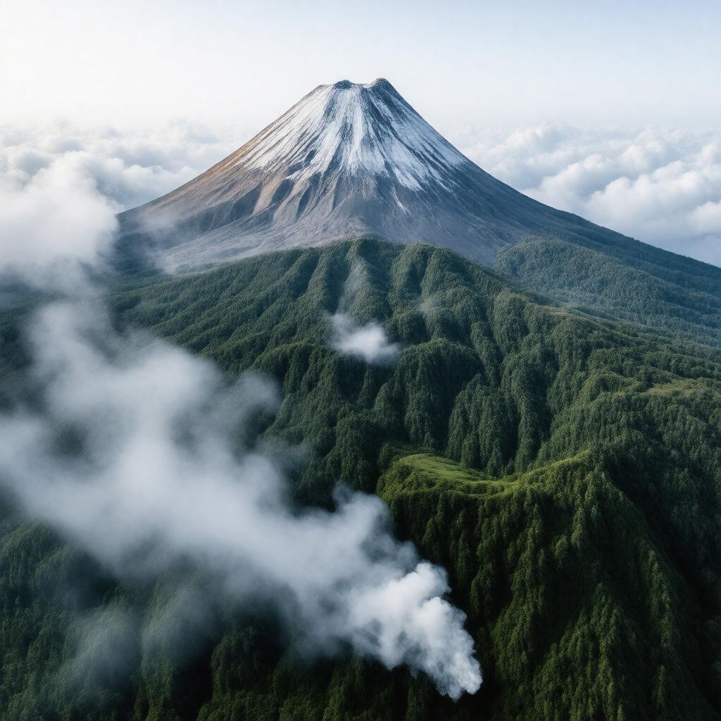
Mount Semeru

GPTKB entity

Statements (93)
Predicate Object
gptkbp:instance_of gptkb:mountain
gptkb:volcano
gptkbp:accessibility gptkb:hiking_trails
via Lumajang
gptkbp:area gptkb:Bromo_Tengger_Semeru_National_Park
gptkbp:best_time_to_visit dry season
gptkbp:climate tropical
tropical highland
tropical highland climate
gptkbp:climate_impact affected by global warming
global warming effects
gptkbp:climbing_ability April to October
required
moderate to difficult
gptkbp:community_engagement involvement in conservation
gptkbp:coordinates 8.1103° S, 112.9220° E
gptkbp:cultural_events local festivals
ceremonies by local communities
gptkbp:cultural_heritage part of Javanese mythology
gptkbp:cultural_significance sacred to local communities
sacred mountain in Javanese culture
gptkbp:elevation 2000 meters
approximately 2,000 meters
3676 meters
gptkbp:emergency_services earthquakes
risk of eruptions
gptkbp:environmental_concerns national park status
volcanic ash impact
gptkbp:fauna gptkb:endemic_species
various species of birds
gptkbp:first_ascent 1901
gptkbp:flora various species of orchids
various orchids
gptkbp:geological_features Quaternary
volcanic
andesite
gptkbp:geological_formation volcanic cone
gptkbp:has_public_transport limited access
gptkbp:has_visitor_center basic accommodations available
gptkbp:historical_significance site of scientific studies
site of ancient myths
https://www.w3.org/2000/01/rdf-schema#label Mount Semeru
gptkbp:known_for being the highest mountain in Java
gptkbp:land_use gptkb:protected_area
conservation efforts
gptkbp:landforms gptkb:mountain
volcanic cone
gptkbp:landmark iconic mountain in Java
gptkbp:landscape gptkb:Bromo
gptkbp:last_eruption gptkb:1973
gptkb:2021
gptkb:Sunda_Arc
1818
active
frequent
lahars
gptkbp:local_cuisine traditional Javanese food
gptkbp:local_economy tourism-based
benefits from tourism
gptkbp:local_names gptkb:Semeru
gptkbp:located_in gptkb:Indonesia
gptkbp:location gptkb:Indonesia
gptkbp:nearest_city Malang
gptkbp:notable_feature gptkb:volcano
gptkbp:part_of gptkb:Bromo_Tengger_Semeru_National_Park
gptkbp:photography popular for landscape photography
gptkbp:prominence 2000 meters
2,100 meters
gptkbp:research gptkb:volcano
gptkbp:research_interest volcanology
geology and ecology
gptkbp:risk_management high
moderate to high
gptkbp:safety guides recommended
gptkbp:slope_type steep
gptkbp:species gptkb:tropical_rainforest
gptkbp:summit gptkb:Mahameru
gptkbp:surrounding_area gptkb:Tengger_Mountains
gptkbp:surrounding_cities Sumber Wuluh
gptkbp:tourism popular trekking destination
gptkbp:tourist_attraction scenic views
gptkbp:trails gptkb:Ranu_Kumbolo
challenging
gptkbp:training_programs gptkb:Ranu_Kumbolo
gptkbp:type stratovolcano
gptkbp:viewpoint gptkb:Ranu_Kumbolo
panoramic views of surrounding area
gptkbp:weather_conditions variable conditions
gptkbp:wildlife various mammals
monkeys
gptkbp:zone tropical
gptkbp:bfsParent gptkb:Java
gptkbp:bfsLayer 4