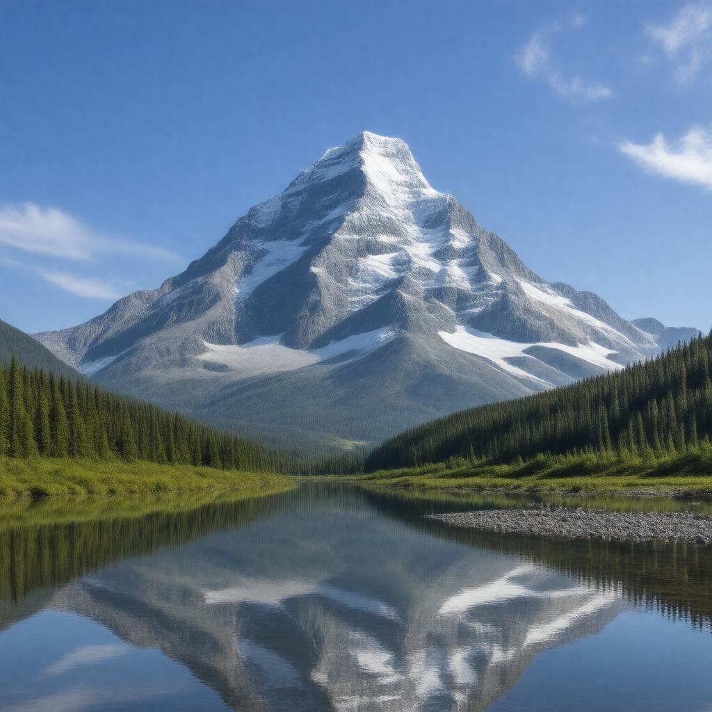
gptkbp:instance_of
|
gptkb:mountain
|
gptkbp:attracts
|
gptkb:climbers
hikers
|
gptkbp:availability
|
gptkb:Summer
gptkb:Winter
|
gptkbp:average_rainfall
|
2000 mm annually
10 meters annually
|
gptkbp:average_temperature
|
15 ° C in summer
-10 ° C in winter
|
gptkbp:campground
|
gptkb:Kinney_Lake_Campground
gptkb:Berg_Lake_Campground
gptkb:Robson_Pass_Campground
|
gptkbp:climate
|
Subarctic climate
|
gptkbp:climbing_ability
|
June to September
Technical climbing required
Various established routes
|
gptkbp:conservation_status
|
gptkb:protected_area
|
gptkbp:coordinates
|
52° 28′ 0″ N, 119° 4′ 0″ W
|
gptkbp:cultural_significance
|
Sacred to Indigenous peoples
|
gptkbp:elevation
|
3954 meters
|
gptkbp:features
|
gptkb:Robson_Provincial_Park
|
gptkbp:first_ascent
|
gptkb:Albert_Mac_Carthy
gptkb:H._A._(Harry)_W._(William)_H._(Hugh)_Mc_Carthy
1908
1909
1913
North face
A. (Arthur) H. (Henry) H. (Hugh) Mc Carthy
July 31, 1913
|
gptkbp:focus_area
|
gptkb:Robson_Pass
gptkb:Kinney_Lake
gptkb:Berg_Lake
|
gptkbp:geological_features
|
gptkb:Robson_Glacier
gptkb:Berg_Glacier
|
gptkbp:geological_formation
|
Sedimentary rock
|
gptkbp:has_public_transport
|
gptkb:Mount_Robson_Highway
|
gptkbp:has_visitor_center
|
gptkb:Mount_Robson_Visitor_Centre
|
gptkbp:historical_significance
|
First recorded ascent in 1913
|
https://www.w3.org/2000/01/rdf-schema#label
|
Mount Robson
|
gptkbp:is_a
|
gptkb:biodiversity_hotspot
gptkb:Nature_Reserve
gptkb:National_Park
gptkb:tourist_attraction
gptkb:recreational_area
gptkb:protected_area
gptkb:cultural_landmark
gptkb:geographical_feature
hiking destination
outdoor recreation area
environmental conservation area
climbing destination
|
gptkbp:is_accessible_by
|
gptkb:hiking_trails
|
gptkbp:is_famous_for
|
gptkb:its_beauty
its height
its challenging weather conditions
|
gptkbp:is_home_to
|
various wildlife
|
gptkbp:is_known_for
|
its stunning views
challenging climbs
|
gptkbp:is_located_in
|
Robson Valley
|
gptkbp:is_located_near
|
gptkb:Mount_Robson_Provincial_Park
|
gptkbp:is_part_of
|
gptkb:Yellowhead_Highway
gptkb:Canadian_Rockies
gptkb:Mount_Robson_Provincial_Park
Canadian National Parks
|
gptkbp:is_popular_in
|
gptkb:photographers
nature lovers
|
gptkbp:is_protected_by
|
British Columbia Parks
|
gptkbp:is_surrounded_by
|
gptkb:river
gptkb:lakes
forests
|
gptkbp:is_visible_from
|
gptkb:Highway_16
|
gptkbp:land_use
|
gptkb:protected_area
|
gptkbp:landmark
|
gptkb:Robson_Pass
|
gptkbp:located_in
|
gptkb:British_Columbia
gptkb:Canada
|
gptkbp:location
|
gptkb:Canada
|
gptkbp:named_after
|
gptkb:Paul_Robson
Mount Robson (the name)
Mount Robson (the explorer)
|
gptkbp:nearest_city
|
gptkb:Valemount
gptkb:Jasper
|
gptkbp:notable_feature
|
Highest peak in the Canadian Rockies
|
gptkbp:parent_range
|
gptkb:Columbia_Mountains
|
gptkbp:parks
|
gptkb:Mount_Robson_Provincial_Park
|
gptkbp:part_of
|
gptkb:Canadian_Rockies
|
gptkbp:popular_activities
|
Hiking
Climbing
|
gptkbp:prominence
|
610 meters
1510 meters
|
gptkbp:significance
|
Cultural significance to Indigenous peoples
|
gptkbp:surrounding_area
|
Robson Valley
|
gptkbp:tourist_attraction
|
gptkb:Mount_Robson_Visitor_Centre
|
gptkbp:trails
|
gptkb:Berg_Lake_Trail
Robson Pass Trail
Kinney Lake Trail
|
gptkbp:viewpoint
|
Mount Robson Viewpoint
|
gptkbp:wildlife
|
Black bears
Mountain goats
Grizzly bears
Marmots
Pika
|
gptkbp:bfsParent
|
gptkb:The_Canadian_Rockies
gptkb:Canadian_Rocky_Mountain_Parks
gptkb:Jasper_National_Park
|
gptkbp:bfsLayer
|
4
|