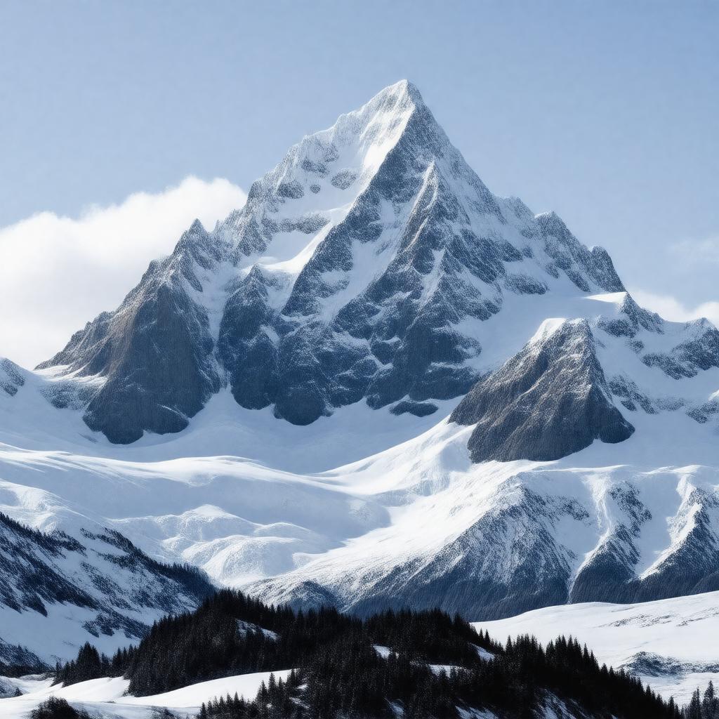
gptkbp:instance_of
|
gptkb:mountain
|
gptkbp:accessibility
|
remote
|
gptkbp:climate
|
polar
|
gptkbp:climb_rate
|
moderate
|
gptkbp:climbing_ability
|
gptkb:North_Face
Difficult
yes
rare
November to February
international climbers
documented
December to January
|
gptkbp:climbing_community_interest
|
high
|
gptkbp:climbing_equipment_required
|
technical gear
|
gptkbp:climbing_permits_required
|
yes
|
gptkbp:coordinates
|
78°30′ S 85°30′ W
|
gptkbp:cultural_significance
|
mythological connections
|
gptkbp:elevation
|
4,897 meters
|
gptkbp:environmental_concerns
|
gptkb:protected_area
|
gptkbp:expedition
|
high
2-3 weeks
multiple expeditions
weather unpredictability
|
gptkbp:fauna
|
limited
|
gptkbp:first_ascent
|
gptkb:Dr._John_D._Mc_Carthy
gptkb:David_A._H._Mc_Carthy
gptkb:1987
gptkb:Robert_W._Mc_Gowan
|
gptkbp:flora
|
gptkb:none
|
gptkbp:geological_features
|
gptkb:Hercules_Glacier
|
gptkbp:geological_formation
|
gptkb:granite
|
gptkbp:historical_significance
|
part of the Antarctic Peninsula
|
https://www.w3.org/2000/01/rdf-schema#label
|
Mount Odin
|
gptkbp:is_visible_from
|
high
|
gptkbp:located_in
|
gptkb:Antarctica
|
gptkbp:major_city
|
gptkb:Union_Glacier_Camp
|
gptkbp:named_after
|
gptkb:Odin
|
gptkbp:part_of
|
gptkb:Sentinel_Range
|
gptkbp:photography
|
excellent
|
gptkbp:prominence
|
1,200 meters
|
gptkbp:research_importance
|
geological studies
|
gptkbp:route
|
via Hercules Glacier
|
gptkbp:surrounding_features
|
gptkb:Mount_Tyree
|
gptkbp:terrain
|
USGS Mount Vinson Map
|
gptkbp:training_programs
|
gptkb:Union_Glacier
|
gptkbp:weather_conditions
|
extreme cold
|
gptkbp:bfsParent
|
gptkb:Quttinirpaaq_National_Park
gptkb:Devon_Island
gptkb:Baffin_Island
gptkb:Auyuittuq_National_Park
|
gptkbp:bfsLayer
|
5
|