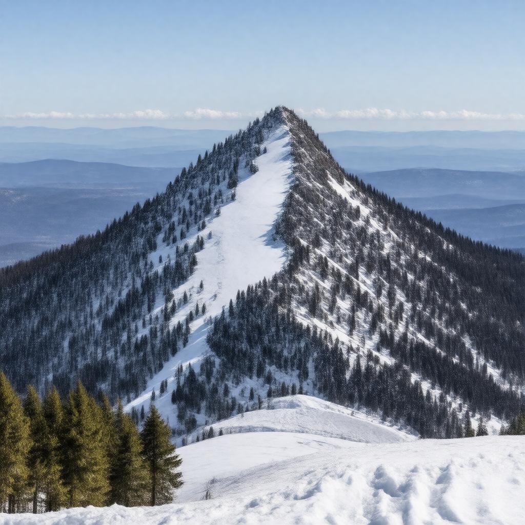
gptkbp:instanceOf
|
gptkb:mountain
|
gptkbp:climate
|
humid continental
|
gptkbp:county
|
gptkb:Washington_County
gptkb:Chittenden_County
gptkb:Lamoille_County
|
gptkbp:elevation
|
1339 m
4395 ft
|
gptkbp:firstAscent
|
unknown
|
gptkbp:hasFeature
|
gptkb:ski_resort
alpine tundra
|
gptkbp:hasResort
|
gptkb:Stowe_Mountain_Resort
|
gptkbp:hasSummit
|
gptkb:mountain
|
gptkbp:highestPoint
|
gptkb:Vermont
|
https://www.w3.org/2000/01/rdf-schema#label
|
Mount Mansfield
|
gptkbp:latitude
|
44.5431° N
|
gptkbp:locatedIn
|
gptkb:United_States
gptkb:Vermont
|
gptkbp:longitude
|
72.8147° W
|
gptkbp:mapType
|
gptkb:Mount_Mansfield
|
gptkbp:namedFor
|
resemblance to a human face
|
gptkbp:nearestCity
|
gptkb:Stowe
gptkb:Underhill
|
gptkbp:notableFor
|
highest peak in Vermont
rare alpine ecosystem
|
gptkbp:partOf
|
gptkb:Green_Mountains
|
gptkbp:photo
|
Mount_Mansfield_from_Prospect_Rock.jpg
|
gptkbp:prominence
|
1110 m
3640 ft
|
gptkbp:protectedArea
|
gptkb:Mount_Mansfield_State_Forest
|
gptkbp:roadType
|
gptkb:Long_Trail
|
gptkbp:route
|
hiking
|
gptkbp:topographicIsolation
|
163.5 mi
263 km
|
gptkbp:bfsParent
|
gptkb:Vermont
|
gptkbp:bfsLayer
|
4
|