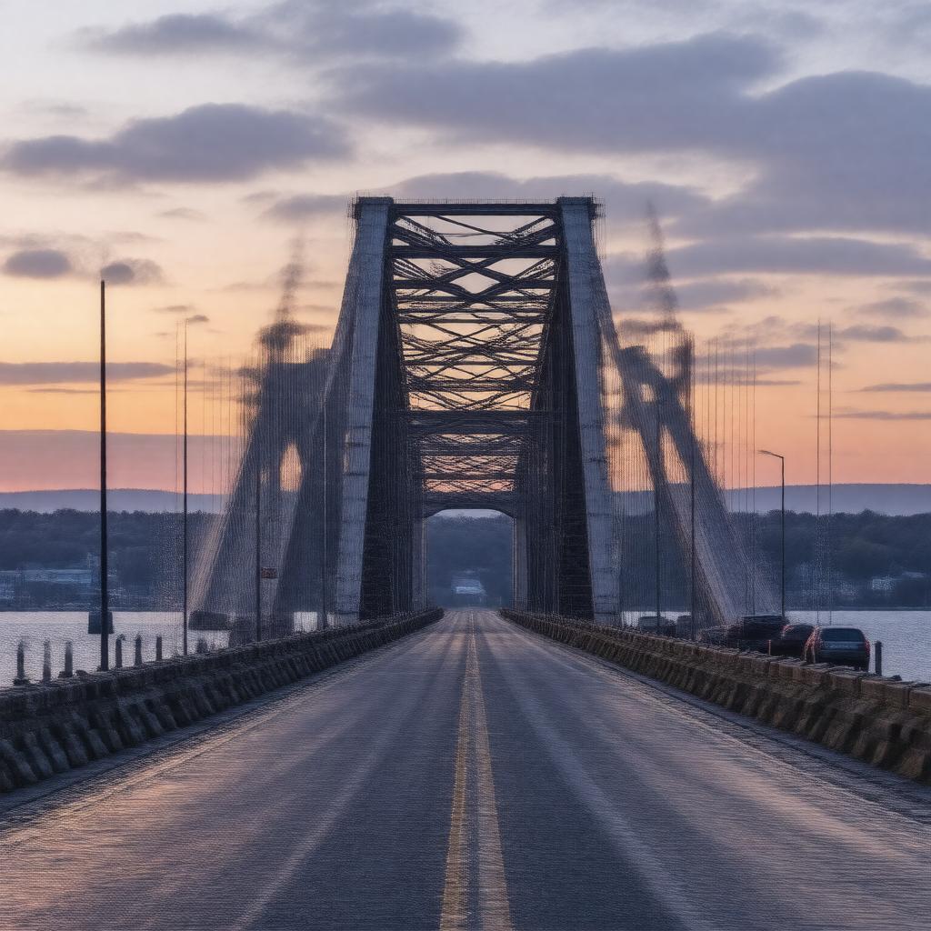
AI-created image
Statements (23)
| Predicate | Object |
|---|---|
| gptkbp:instanceOf |
gptkb:bridge
|
| gptkbp:addedToNationalRegisterOfHistoricPlaces |
1976
|
| gptkbp:carries |
2 lanes of vehicular traffic
|
| gptkbp:connects |
gptkb:Bristol
gptkb:Portsmouth |
| gptkbp:crosses |
gptkb:Mount_Hope_Bay
|
| gptkbp:designer |
gptkb:Robinson_&_Steinman
|
| gptkbp:height |
135 feet
|
| gptkbp:latitude |
41.6381
|
| gptkbp:length |
6,130 feet
|
| gptkbp:locatedIn |
gptkb:Rhode_Island
|
| gptkbp:longitude |
-71.2606
|
| gptkbp:mainSpan |
1,200 feet
|
| gptkbp:maintainedBy |
gptkb:Rhode_Island_Department_of_Transportation
|
| gptkbp:material |
gptkb:steel
|
| gptkbp:NRHPReferenceNumber |
76000038
|
| gptkbp:opened |
1929
|
| gptkbp:partOf |
gptkb:Rhode_Island_Route_114
|
| gptkbp:replacedBy |
gptkb:ferry
|
| gptkbp:toll |
no
|
| gptkbp:bfsParent |
gptkb:Aquidneck_Island
|
| gptkbp:bfsLayer |
5
|
| http://www.w3.org/2000/01/rdf-schema#label |
Mount Hope Bridge
|