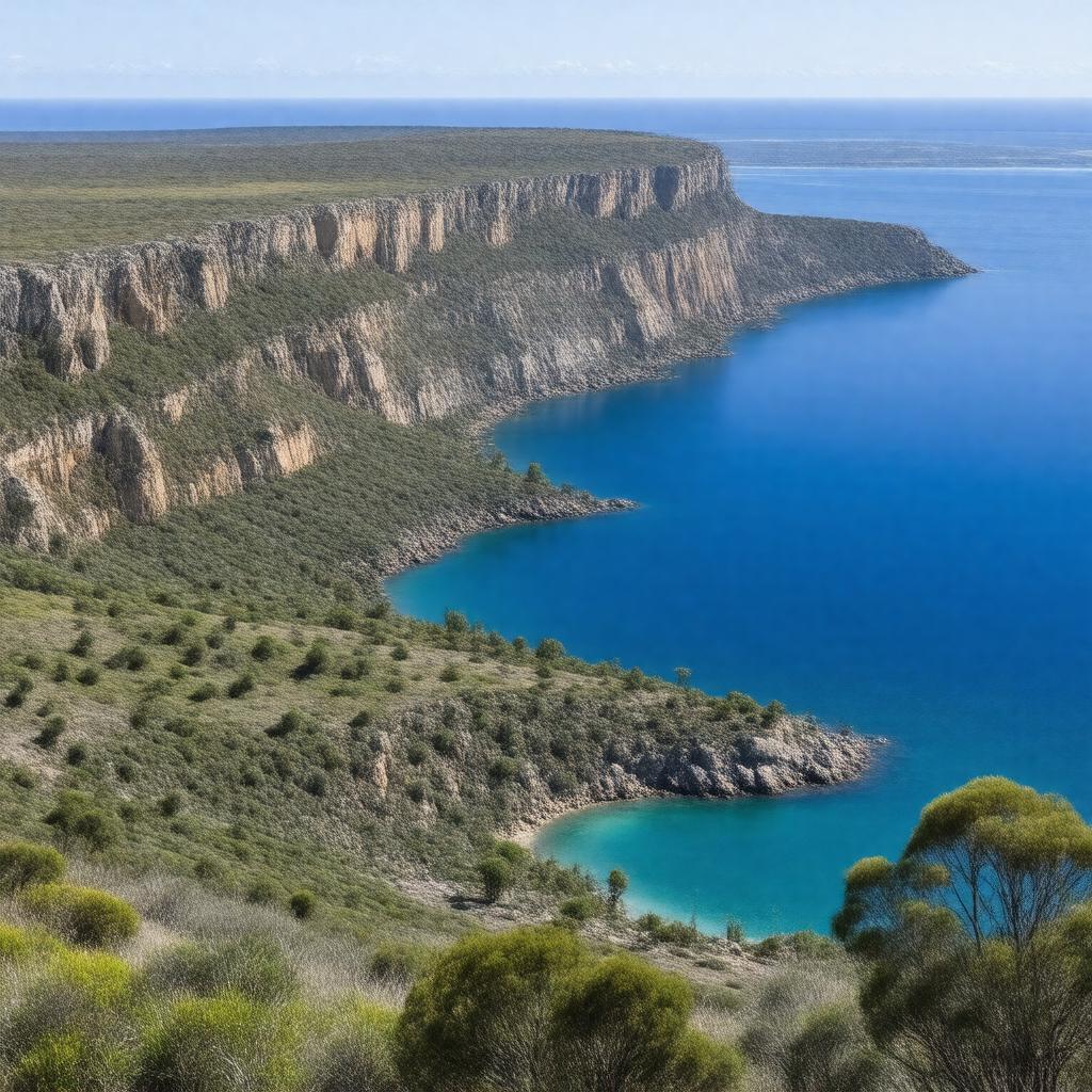
gptkbp:instanceOf
|
gptkb:city
|
gptkbp:annualRainfall
|
710 mm
|
gptkbp:area
|
33.5 km²
|
gptkbp:averageSpeed
|
19.0°C
8.2°C
|
gptkbp:climate
|
Mediterranean climate
|
gptkbp:country
|
gptkb:Australia
|
gptkbp:distanceFromSydneyCBD
|
435 km
452 km
|
gptkbp:elevation
|
66 m
|
gptkbp:famousFor
|
gptkb:volcanic_activity
gptkb:Blue_Lake
cave systems
|
gptkbp:founded
|
1854
|
gptkbp:hasAirport
|
gptkb:Mount_Gambier_Airport
|
gptkbp:hasAttraction
|
gptkb:Centenary_Tower
gptkb:Umpherston_Sinkhole
gptkb:Blue_Lake
|
gptkbp:hasCave
|
gptkb:Engelbrecht_Cave
gptkb:Umpherston_Sinkhole
|
gptkbp:hasGallery
|
gptkb:Riddoch_Art_Gallery
|
gptkbp:hasGarden
|
gptkb:Cave_Gardens
|
gptkbp:hasGolfCourse
|
gptkb:Mount_Gambier_Golf_Club
|
gptkbp:hasHighSchool
|
gptkb:Mount_Gambier_High_School
|
gptkbp:hasHospital
|
gptkb:Mount_Gambier_Hospital
|
gptkbp:hasLake
|
gptkb:Brownes_Lake
gptkb:Leg_of_Mutton_Lake
gptkb:Valley_Lake
gptkb:Blue_Lake
|
gptkbp:hasLibrary
|
gptkb:Mount_Gambier_Library
|
gptkbp:hasNewspaper
|
gptkb:The_Border_Watch
|
gptkbp:hasRailwayStation
|
gptkb:Mount_Gambier_railway_station
|
https://www.w3.org/2000/01/rdf-schema#label
|
Mount Gambier
|
gptkbp:localGovernmentArea
|
gptkb:City_of_Mount_Gambier
|
gptkbp:locatedIn
|
gptkb:Limestone_Coast
|
gptkbp:namedAfter
|
gptkb:Mount_Gambier_(volcano)
|
gptkbp:population
|
29940
|
gptkbp:postalCode
|
5290
|
gptkbp:region
|
gptkb:South_East_South_Australia
|
gptkbp:sisterCity
|
gptkb:Yantai
gptkb:Takamatsu
|
gptkbp:sportsTeam
|
gptkb:Mount_Gambier_Pioneers
|
gptkbp:state
|
gptkb:South_Australia
|
gptkbp:timezone
|
gptkb:ACST
|
gptkbp:bfsParent
|
gptkb:South_Australia
|
gptkbp:bfsLayer
|
5
|