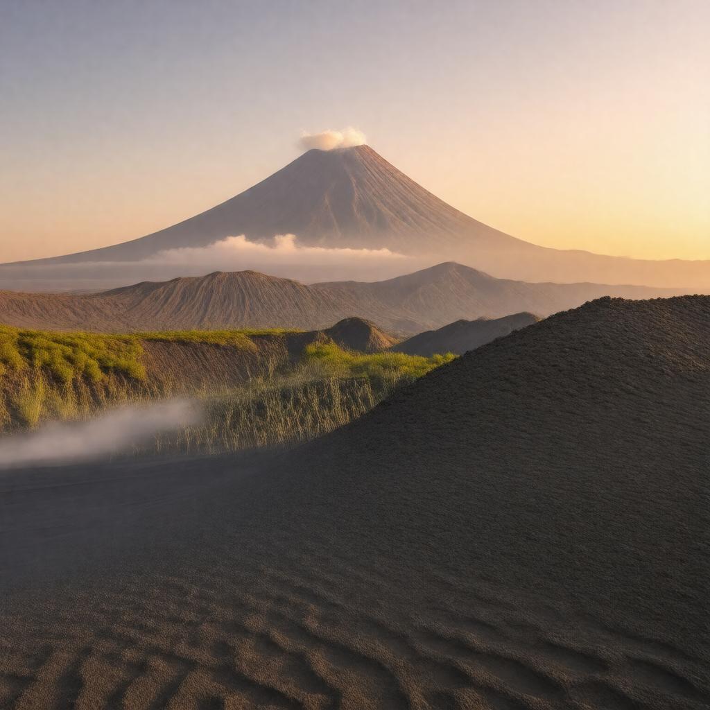
Mount Bromo

GPTKB entity

Properties (52)
Predicate Object
gptkbp:instanceOf volcano
gptkbp:accessibility open year-round
gptkbp:attraction tourist destination
gptkbp:bestTimeToVisit April to October
gptkbp:climate tropical highland
tropical_highland_climate
gptkbp:conservationEfforts protected area status
gptkbp:culturalEvents gptkb:Yadnya_Kasada_festival
gptkbp:culturalHeritage Tenggerese_traditions
gptkbp:culturalSignificance gptkb:Tenggerese_people
gptkbp:elevation 2,329 meters
gptkbp:environmentalConcerns tourism impact
gptkbp:fauna various species of birds
gptkbp:features sand sea
gptkbp:flora mountain vegetation
gptkbp:geologicalFeatures fertile soil
active volcano
Quaternary period
frequent eruptions
gptkbp:height 2,329 meters above sea level
https://www.w3.org/2000/01/rdf-schema#label Mount Bromo
gptkbp:is_accessible_by 4WD_vehicles
gptkbp:knownFor sunrise views
gptkbp:lastProduced 1974
2016
gptkbp:localCuisine traditional_Tenggerese_food
gptkbp:localLegends the_legend_of_Roro_Anteng_and_Joko_Seger
gptkbp:locatedIn Indonesia
gptkbp:mission 800 meters
gptkbp:nearbyAttractions gptkb:Savanna_Teletubbies
gptkb:Mount_Semeru
gptkb:Teletubbies_Hill
Whispering Sands
gptkbp:partOf Bromo Tengger Semeru National Park
gptkbp:photography popular location
gptkbp:researchInterest volcanology studies
gptkbp:safety active monitoring by authorities
gptkbp:scenicViews Bromo-Semeru_National_Park_road
gptkbp:surroundingArea Semeru
Tengger Caldera
Tengger villages
gptkbp:tourism hiking
photography
camping
horse riding
gptkbp:touristAttraction dry season
gptkbp:transportation public buses
tourist shuttles
gptkbp:type stratovolcano
gptkbp:UNESCO_World_Heritage_Site World Heritage Site candidate
gptkbp:viewpoint gptkb:Penanjakan_Peak
gptkbp:visibility clear days offer stunning views.