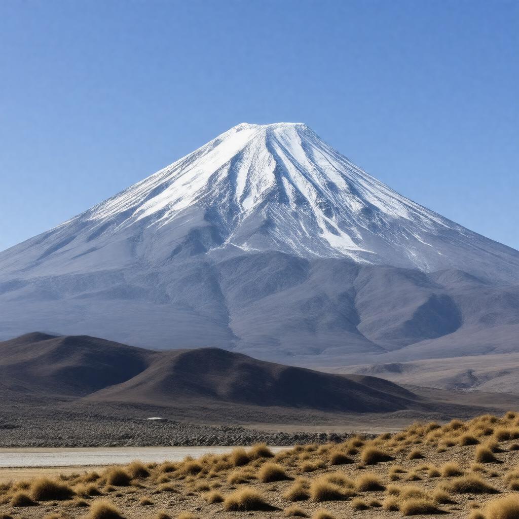
gptkbp:instanceOf
|
gptkb:mountain
|
gptkbp:borderedBy
|
gptkb:Armenia
gptkb:Iran
gptkb:Azerbaijan_(Nakhchivan_exclave)
|
gptkbp:country
|
gptkb:Turkey
|
gptkbp:culturalSignificance
|
symbol of Armenia
|
gptkbp:elevation
|
5137 meters
|
gptkbp:featuredIn
|
gptkb:Armenian_coat_of_arms
|
gptkbp:firstAscent
|
gptkb:Friedrich_Parrot
1829
|
gptkbp:hasGlacier
|
Yes
|
gptkbp:highestPoint
|
gptkb:Turkey
|
https://www.w3.org/2000/01/rdf-schema#label
|
Mount Ararat
|
gptkbp:lastEruption
|
1840
|
gptkbp:latitude
|
39.7025° N
|
gptkbp:locatedIn
|
gptkb:Turkey
gptkb:Ağrı_Province
gptkb:Iğdır_Province
gptkb:Eastern_Anatolia_Region
|
gptkbp:longitude
|
44.2981° E
|
gptkbp:mapType
|
gptkb:Turkey
|
gptkbp:otherName
|
gptkb:Ağrı_Dağı
gptkb:Masis
|
gptkbp:partOf
|
gptkb:Ararat_massif
|
gptkbp:photo
|
Mount_Ararat_and_the_Ararat_plain_(50mm).jpg
|
gptkbp:prominence
|
3611 meters
|
gptkbp:range
|
gptkb:Armenian_Highlands
|
gptkbp:significance
|
traditional resting place of Noah's Ark
|
gptkbp:type
|
gptkb:stratovolcano
|
gptkbp:UNESCO_tentative_list
|
Yes
|
gptkbp:volcanicArcBelt
|
gptkb:Armenian_Highlands
|
gptkbp:bfsParent
|
gptkb:Armenia
gptkb:Turkey
gptkb:Anatolia
gptkb:Türkiye
|
gptkbp:bfsLayer
|
4
|