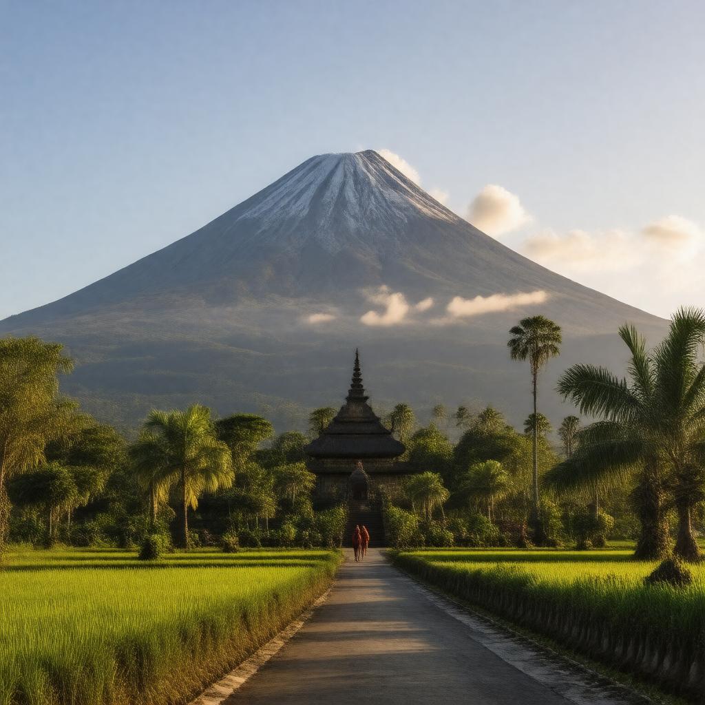
Statements (68)
Predicate | Object |
---|---|
gptkbp:instance_of |
gptkb:volcano
|
gptkbp:accessibility |
gptkb:hiking_trails
|
gptkbp:area |
Gunung Agung National Park
|
gptkbp:best_time_to_visit |
April to October
|
gptkbp:climate |
tropical climate
|
gptkbp:climate_impact |
impact on local ecosystems
influences local weather patterns |
gptkbp:climbing_ability |
April to November
|
gptkbp:community_events |
local festivals related to the mountain
|
gptkbp:community_involvement |
local guides and porters
|
gptkbp:conservation_efforts |
protected area status
|
gptkbp:coordinates |
8.3436° S, 115.5080° E
|
gptkbp:cultural_events |
ceremonies at Pura Besakih
|
gptkbp:cultural_heritage |
part of Balinese culture
|
gptkbp:cultural_practices |
influences local traditions
|
gptkbp:cultural_programs |
teaching about Balinese culture and nature.
|
gptkbp:cultural_significance |
sacred mountain in Hinduism
|
gptkbp:cultural_symbol |
symbol of Balinese identity
|
gptkbp:elevation |
3,031 meters
|
gptkbp:emergency_exits |
established for eruptions
|
gptkbp:emergency_services |
potential for eruptions
|
gptkbp:environmental_impact |
gptkb:biodiversity_hotspot
deforestation concerns |
gptkbp:fauna |
various species of birds
|
gptkbp:flora |
gptkb:tropical_rainforest
|
gptkbp:geographical_feature |
highest point in Bali
|
gptkbp:geological_features |
andesite lava
|
gptkbp:geological_formation |
gptkb:volcano
|
gptkbp:historical_records |
documented eruptions since 1800s
|
gptkbp:historical_significance |
site of major eruptions
|
gptkbp:historical_site |
Pura Besakih temple
|
https://www.w3.org/2000/01/rdf-schema#label |
Mount Agung
|
gptkbp:is_visible_from |
visible from many parts of Bali
|
gptkbp:land_use |
agriculture around base
conservation strategies in place |
gptkbp:landforms |
gptkb:mountain
|
gptkbp:landmark |
prominent feature of Bali's landscape
|
gptkbp:last_eruption |
gptkb:1963
gptkb:2019 1808 active lahars sulfur dioxide emissions fertile for agriculture affects air travel monitored by PVMBG |
gptkbp:local_economy |
supports tourism and agriculture
|
gptkbp:local_legends |
associated with Balinese mythology
|
gptkbp:location |
gptkb:Bali,_Indonesia
|
gptkbp:nearest_city |
Amlapura
|
gptkbp:photography |
popular subject for photographers
|
gptkbp:prominence |
1,142 meters
|
gptkbp:research |
active research site for geology
|
gptkbp:research_interest |
studied by volcanologists
|
gptkbp:safety |
guides recommended for hikes
|
gptkbp:safety_alerts |
issued during eruptions
|
gptkbp:slope_rating |
steep slopes
|
gptkbp:surrounding_features |
rice terraces
|
gptkbp:tourism |
popular hiking destination
|
gptkbp:tourism_impact |
economic benefits and challenges
|
gptkbp:tourist_attraction |
sunrise treks
|
gptkbp:trails |
moderate to difficult
|
gptkbp:type |
stratovolcano
|
gptkbp:viewpoint |
panoramic views of Bali
|
gptkbp:wildlife |
habitat for endemic species
|
gptkbp:zone |
tropical rainforest climate
|
gptkbp:bfsParent |
gptkb:Bali,_Indonesia
|
gptkbp:bfsLayer |
5
|