gptkbp:instance_of
|
gptkb:mountain_range
|
gptkbp:accessibility
|
gptkb:public_transport
major roads
|
gptkbp:area
|
approximately 1,500 square kilometers
|
gptkbp:average_temperature
|
10° C to 15° C
|
gptkbp:biodiversity
|
rich flora and fauna
|
gptkbp:climate
|
oceanic climate
|
gptkbp:coordinates
|
45.6° N, 4.5° E
|
gptkbp:cultural_heritage
|
gptkb:traditional_crafts
gptkb:gastronomy
local festivals
|
gptkbp:elevation
|
approximately 1,200 meters
|
gptkbp:flora
|
beech trees
coniferous trees
oak trees
|
gptkbp:geological_features
|
valleys
limestone cliffs
granite formations
|
gptkbp:highest_point
|
gptkb:Mont_Pilat
|
gptkbp:historical_significance
|
medieval architecture
Roman settlements
|
https://www.w3.org/2000/01/rdf-schema#label
|
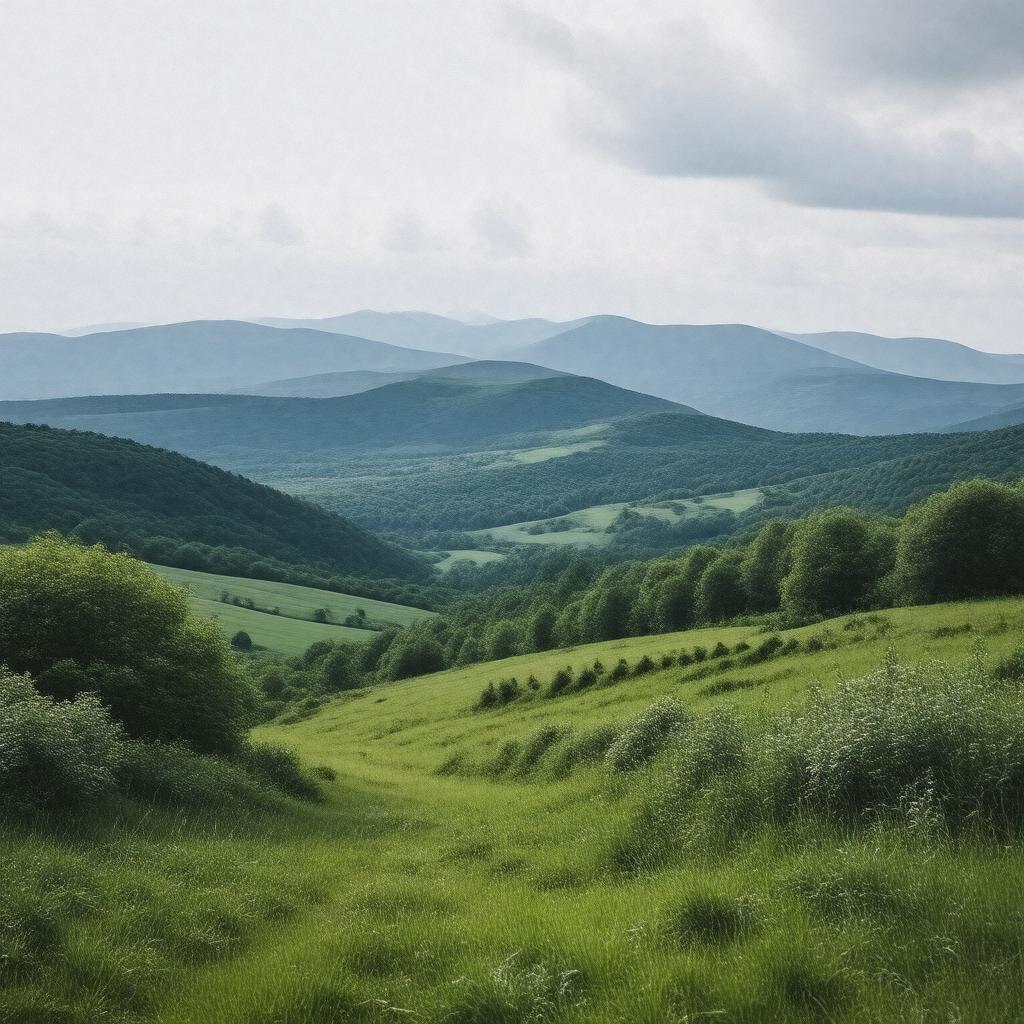
Monts du Lyonnais
|
gptkbp:land_use
|
gptkb:agricultural_land
recreational areas
natural reserves
|
gptkbp:local_economy
|
gptkb:tourism
agriculture
forestry
|
gptkbp:located_in
|
gptkb:France
|
gptkbp:part_of
|
gptkb:Massif_Central
|
gptkbp:popular_activities
|
gptkb:mountain_biking
hiking
wildlife observation
|
gptkbp:protected_area
|
gptkb:Parc_naturel_régional_du_Pilat
|
gptkbp:river
|
gptkb:Rhône
Loire
|
gptkbp:species
|
forests
|
gptkbp:surrounding_area
|
gptkb:Rhône-Alpes
gptkb:Auvergne-Rhône-Alpes
|
gptkbp:surrounding_cities
|
gptkb:Lyon
gptkb:Saint-Étienne
|
gptkbp:tourist_attraction
|
gptkb:Château_de_Saint-Étienne
gptkb:Château_de_la_Roche
|
gptkbp:wildlife
|
gptkb:deer
gptkb:wild_boar
various bird species
|
gptkbp:bfsParent
|
gptkb:Rhône_department
|
gptkbp:bfsLayer
|
5
|