Prompt
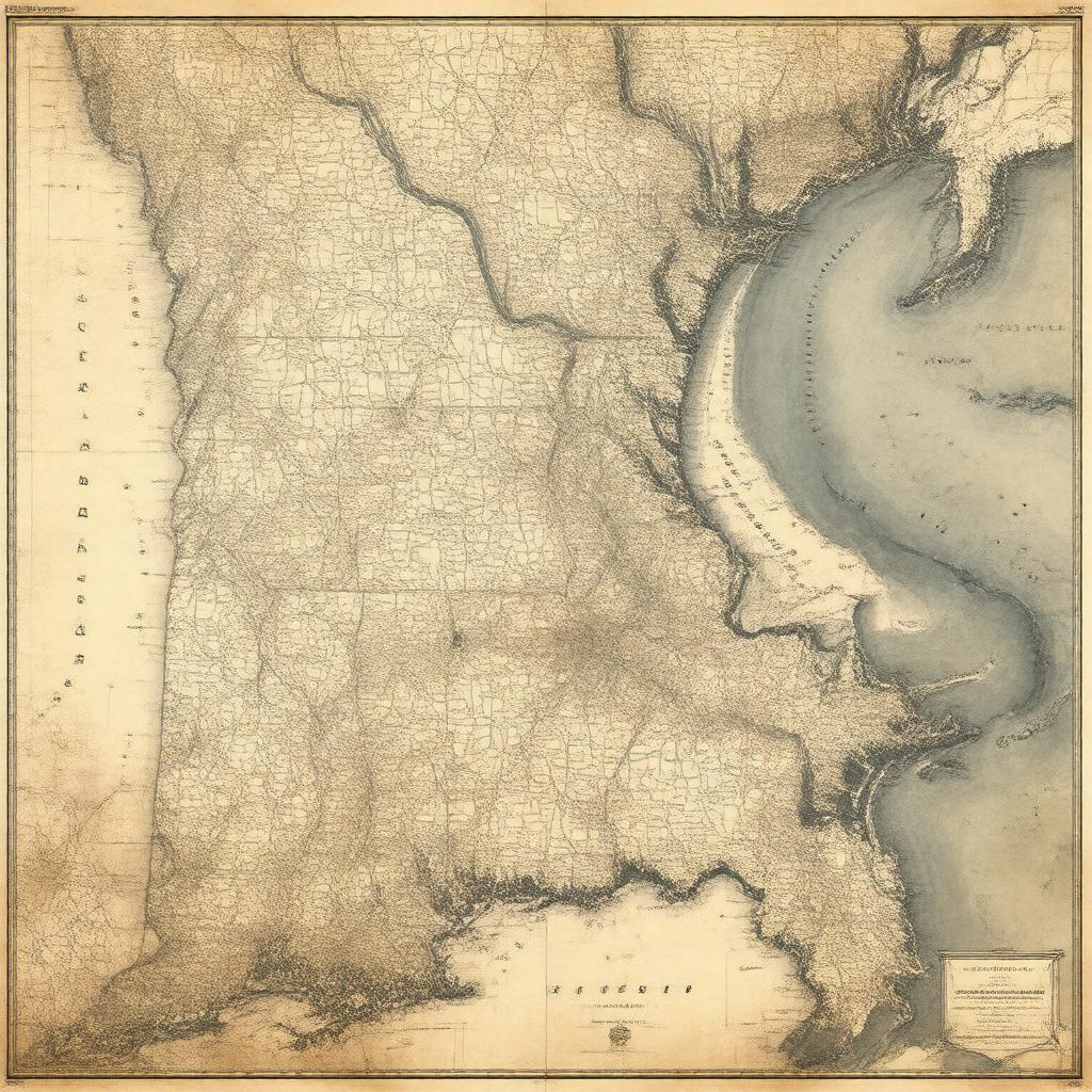
"Create an image of a historical map of the Mississippi Territory in the early 19th century, with the Mississippi River flowing through it, and the cities of Natchez and Washington marked as capitals. The map should be in a vintage style, with a subtle texture and earthy tones, and should include a small inset of the Flag of the United States. The map should cover the present-day regions of Mississippi and Alabama, and should give a sense of the territory's location in the Southeastern United States."

