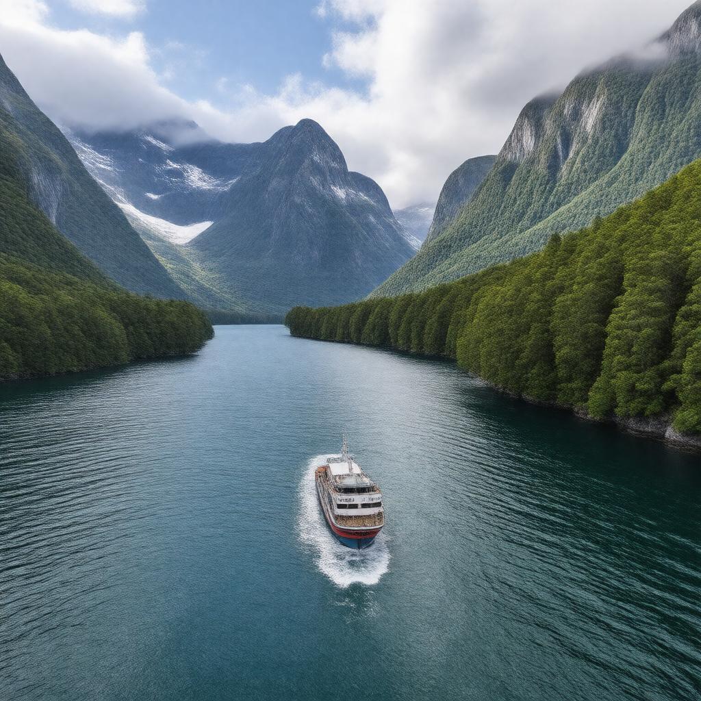
gptkbp:instanceOf
|
gptkb:valley
|
gptkbp:accessibleBy
|
gptkb:Milford_Road_(State_Highway_94)
|
gptkbp:annualRainfall
|
6,813 mm
|
gptkbp:climate
|
gptkb:tropical_rainforest
|
gptkbp:containsSettlement
|
gptkb:Milford_Sound_Village
|
gptkbp:discoveredBy
|
gptkb:John_Grono
|
gptkbp:fauna
|
gptkb:New_Zealand_fur_seals
gptkb:Fiordland_crested_penguins
bottlenose dolphins
|
gptkbp:filmingLocation
|
gptkb:The_Lord_of_the_Rings
gptkb:Mission:_Impossible_–_Fallout
|
gptkbp:formedBy
|
glacial activity
|
gptkbp:hasAirport
|
gptkb:Milford_Sound_Airport
|
gptkbp:hasBoatTerminal
|
gptkb:Milford_Sound_Wharf
|
gptkbp:hasMaoriName
|
gptkb:Piopiotahi
|
gptkbp:hasNatureReserve
|
gptkb:Piopiotahi_(Milford_Sound)_Marine_Reserve
|
gptkbp:hasWalkingTrails
|
gptkb:Milford_Track
|
gptkbp:highestPoint
|
gptkb:Mitre_Peak
|
https://www.w3.org/2000/01/rdf-schema#label
|
Milford Sound
|
gptkbp:inflow
|
gptkb:Harrison_River
gptkb:Bowen_River
gptkb:Cleddau_River
gptkb:Sinbad_Gully
gptkb:Stirling_River
|
gptkbp:length
|
15 km
|
gptkbp:locatedIn
|
gptkb:New_Zealand
gptkb:Fiordland_National_Park
South Island
|
gptkbp:majorWaterfall
|
gptkb:Bowen_Falls
gptkb:Stirling_Falls
|
gptkbp:maximumDepth
|
up to 291 m
|
gptkbp:Mitre_PeakHeight
|
1,692 m
|
gptkbp:namedAfter
|
gptkb:Milford_Haven
|
gptkbp:notableFeature
|
frequent rainfall
lush rainforests
sheer rock faces
|
gptkbp:notableFor
|
dramatic scenery
popular tourist destination
abundant wildlife
|
gptkbp:outflow
|
gptkb:Tasman_Sea
|
gptkbp:partOf
|
gptkb:Te_Wahipounamu_World_Heritage_Area
|
gptkbp:protectedArea
|
gptkb:Fiordland_National_Park
|
gptkbp:region
|
gptkb:Southland_Region
|
gptkbp:touristAttraction
|
kayaking
cruise tours
scenic flights
|
gptkbp:UNESCOWorldHeritageSite
|
gptkb:Te_Wahipounamu
|
gptkbp:visitedBy
|
over 500,000 tourists annually
|
gptkbp:bfsParent
|
gptkb:The_Eighth_Wonder_of_the_World
gptkb:Milford
gptkb:米尔福德峡湾
gptkb:valley
gptkb:Île_du_Sud
|
gptkbp:bfsLayer
|
5
|