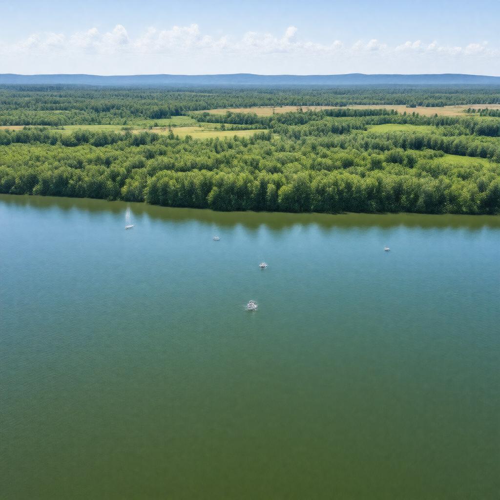
gptkbp:instanceOf
|
lake
|
gptkbp:accessibility
|
public access
|
gptkbp:annualVisitors
|
over 100,000
|
gptkbp:area
|
16,000 acres
|
gptkbp:averageRainfall
|
30 inches
|
gptkbp:averageTemperature
|
60°F
|
gptkbp:createdBy
|
gptkb:Milford_Dam
|
gptkbp:crewCapacity
|
multiple ramps
|
gptkbp:drainageBasin
|
1,200 square miles
|
gptkbp:elevation
|
1,200 feet
|
gptkbp:emergencyServices
|
available
|
gptkbp:fishSpecies
|
gptkb:Largemouth_Bass
Crappie
Catfish
|
gptkbp:hasArea
|
available
|
gptkbp:historicalSignificance
|
important for local ecology
important for local economy
important for recreation
|
https://www.w3.org/2000/01/rdf-schema#label
|
Milford Lake
|
gptkbp:lighting
|
provides flood control
|
gptkbp:localWildlife
|
gptkb:bald_eagles
various fish species
herons
beavers
otters
|
gptkbp:location
|
gptkb:Kansas
|
gptkbp:managedBy
|
gptkb:U.S._Army_Corps_of_Engineers
|
gptkbp:maximumDepth
|
50 feet
|
gptkbp:nearestCity
|
Milford
|
gptkbp:partOf
|
gptkb:Milford_Reservoir
|
gptkbp:primaryMission
|
recreation
|
gptkbp:recreation
|
gptkb:Milford_State_Park
fishing
hiking
boating
camping
|
gptkbp:surroundingArea
|
gptkb:Clay_County
gptkb:Geary_County
gptkb:Riley_County
gptkb:Pottawatomie_County
|
gptkbp:tour
|
hiking trails
|
gptkbp:training
|
several campgrounds
|
gptkbp:waterQuality
|
monitored
|
gptkbp:waterSource
|
gptkb:Republican_River
provides water storage
|
gptkbp:wildlife
|
deer
waterfowl
turkey
|
gptkbp:yearEstablished
|
1967
|