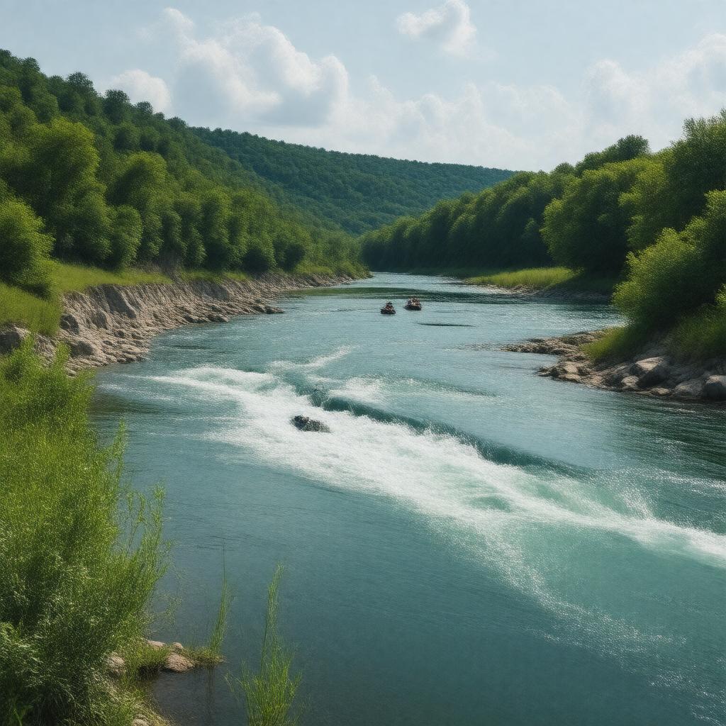
Meramec River

GPTKB entity

Statements (52)
Predicate Object
gptkbp:instance_of gptkb:river
gptkbp:conservation efforts to protect water quality
gptkbp:crosses gptkb:Jefferson_County,_Missouri
gptkb:Washington_County,_Missouri
gptkb:Crawford_County,_Missouri
gptkb:Franklin_County,_Missouri
gptkbp:cultural_significance part of local folklore
site for local festivals
inspiration for local artists
recreational activities for locals
gptkbp:dam gptkb:Meramec_River_Dam
gptkbp:environment part of the Ozark Highlands
gptkbp:environmental_concerns gptkb:urban_development
gptkb:invasive_species
climate change
pollution
flooding risks
gptkbp:fish_species gptkb:sunfish
gptkb:fish
gptkb:trout
bass
crappie
gptkbp:flood_control historical flooding events
gptkbp:geography flows through the Ozarks
gptkbp:historical_event important for local agriculture
site of early settlements
used for transportation in the 19th century
gptkbp:historical_significance explored by early settlers
https://www.w3.org/2000/01/rdf-schema#label Meramec River
gptkbp:length 130 miles
gptkbp:location gptkb:Missouri
gptkbp:mouth gptkb:Mississippi_River
gptkbp:named_after the Meramec tribe
gptkbp:notable_feature gptkb:Castlewood_State_Park
gptkb:Meramec_Caverns
gptkb:Onondaga_Cave_State_Park
gptkbp:recreation gptkb:swimming
fishing
hiking
canoeing
gptkbp:source Southeast of Salem, Missouri
gptkbp:surrounding_cities gptkb:St._Louis,_Missouri
gptkb:Cuba,_Missouri
gptkb:Sullivan,_Missouri
gptkb:Pacific,_Missouri
gptkb:Eureka,_Missouri
gptkbp:survivability partially navigable
gptkbp:tributary_of gptkb:Mississippi_River
gptkbp:water_quality varies by location
gptkbp:wildlife supports diverse species
gptkbp:bfsParent gptkb:Missouri
gptkbp:bfsLayer 4