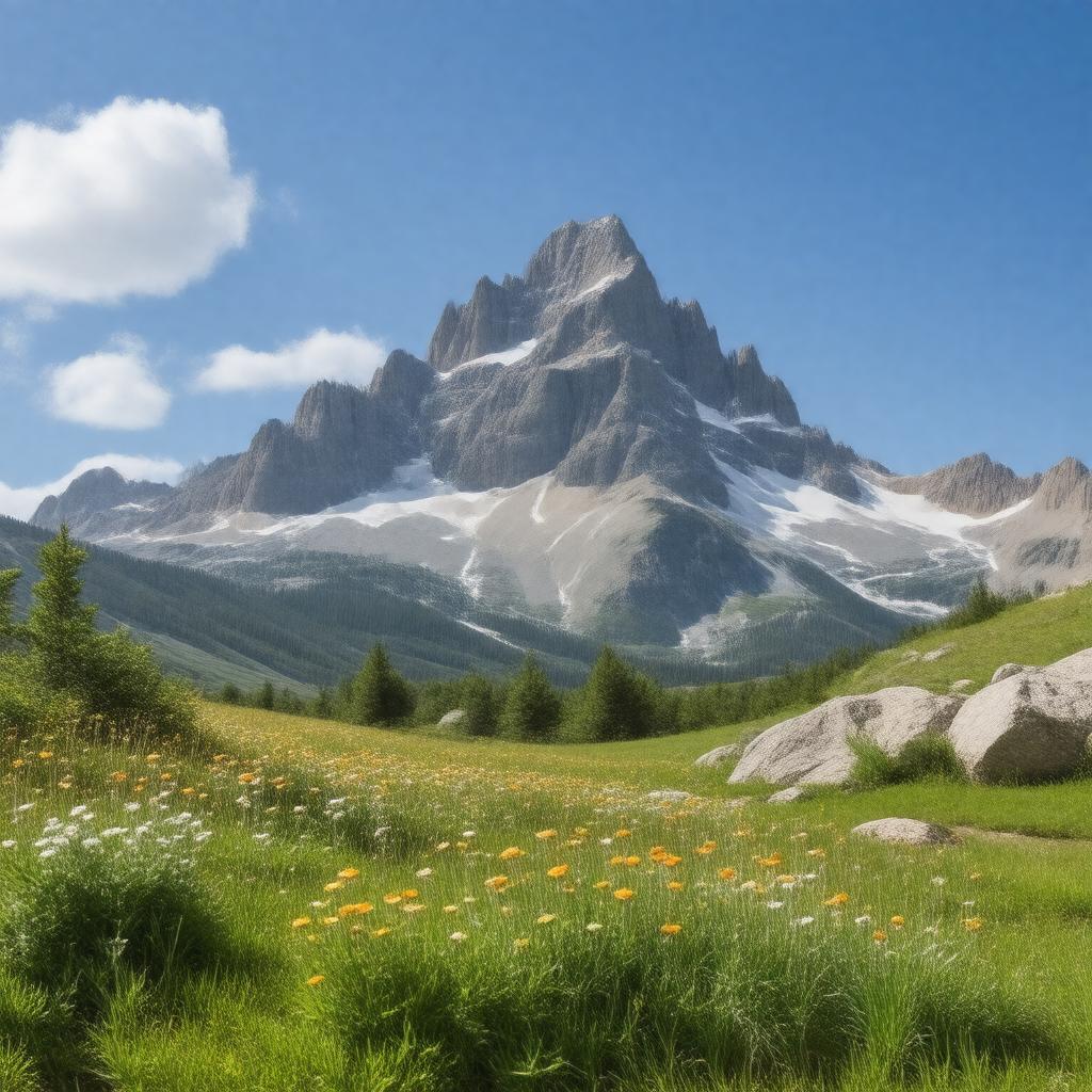
AI-created image
Statements (31)
| Predicate | Object |
|---|---|
| gptkbp:instanceOf |
gptkb:mountain
|
| gptkbp:county |
gptkb:Albany_County
|
| gptkbp:elevation |
12,018 feet
3,663 meters |
| gptkbp:fauna |
marmot
pika |
| gptkbp:flora |
alpine wildflowers
|
| gptkbp:glaciers |
cirques
tarns |
| gptkbp:hasSummit |
bare rock
|
| gptkbp:highestPoint |
gptkb:Medicine_Bow_Mountains
|
| gptkbp:latitude |
41.3661° N
|
| gptkbp:locatedIn |
gptkb:United_States
gptkb:Wyoming |
| gptkbp:longitude |
106.3247° W
|
| gptkbp:mapType |
gptkb:USGS_Medicine_Bow_Peak
|
| gptkbp:nearestCity |
gptkb:Centennial,_Wyoming
|
| gptkbp:notableEvent |
gptkb:1955_United_Airlines_Flight_409_crash
|
| gptkbp:partOf |
gptkb:Medicine_Bow_Mountains
|
| gptkbp:photo |
Medicine Bow Peak from Lake Marie.jpg
|
| gptkbp:popularActivity |
climbing
hiking skiing |
| gptkbp:prominence |
548 meters
1,798 feet |
| gptkbp:protectedArea |
gptkb:Medicine_Bow_National_Forest
|
| gptkbp:range |
gptkb:Rocky_Mountains
|
| gptkbp:route |
gptkb:hiking_trail
|
| gptkbp:bfsParent |
gptkb:Medicine_Bow_National_Forest
|
| gptkbp:bfsLayer |
5
|
| http://www.w3.org/2000/01/rdf-schema#label |
Medicine Bow Peak
|