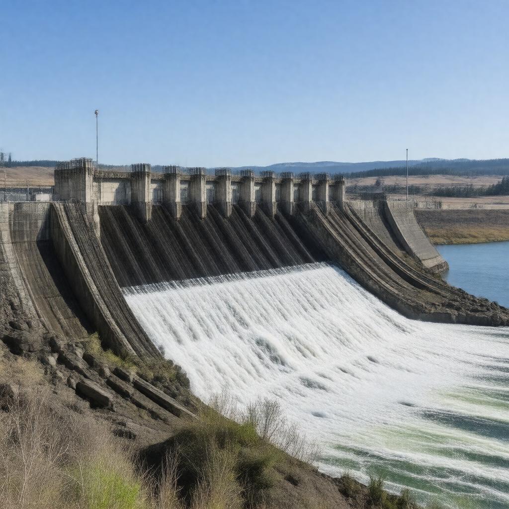
AI-created image
Statements (27)
| Predicate | Object |
|---|---|
| gptkbp:instanceOf |
gptkb:hydroelectric_power_station
|
| gptkbp:capacity |
980 MW
|
| gptkbp:constructionStartYear |
1947
|
| gptkbp:country |
gptkb:United_States
|
| gptkbp:fishLadder |
yes
|
| gptkbp:hasTower |
14
|
| gptkbp:height |
183 feet
|
| gptkbp:latitude |
45.9367
|
| gptkbp:length |
7,365 feet
|
| gptkbp:locatedIn |
gptkb:Benton_County,_Washington
gptkb:Umatilla_County,_Oregon |
| gptkbp:locatedOn |
gptkb:Columbia_River
|
| gptkbp:longitude |
-119.2981
|
| gptkbp:mapType |
Oregon#USA
|
| gptkbp:namedAfter |
gptkb:Charles_L._McNary
|
| gptkbp:navigationLock |
yes
|
| gptkbp:opened |
1954
|
| gptkbp:operatedBy |
gptkb:U.S._Army_Corps_of_Engineers
|
| gptkbp:purpose |
gptkb:navigation
flood control hydroelectric power recreation |
| gptkbp:reservoirName |
gptkb:Lake_Wallula
|
| gptkbp:website |
https://www.nwp.usace.army.mil/McNary/
|
| gptkbp:bfsParent |
gptkb:Columbia_River
|
| gptkbp:bfsLayer |
4
|
| http://www.w3.org/2000/01/rdf-schema#label |
McNary Dam
|