Mascot, New South Wales, Australia

GPTKB entity
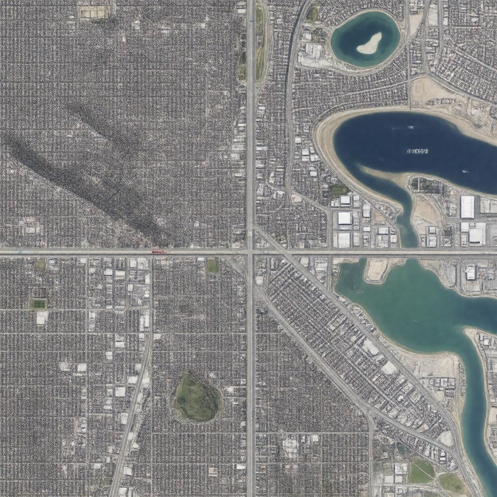
Properties (58)
Predicate Object
gptkbp:instanceOf suburb
gptkbp:area 3.2 square kilometers
gptkbp:averageRainfall approximately 1,200 mm
gptkbp:averageTemperature around 18°C
gptkbp:climate temperate climate
gptkbp:community cultural organizations
neighborhood associations
sports clubs
gptkbp:communityEvents festivals
local markets
gptkbp:communityService senior services
childcare centers
healthcare_facilities
gptkbp:culturalHeritage multicultural community
gptkbp:demographics young families
gptkbp:education gptkb:Mascot_Public_School
gptkbp:elevation approximately 20 meters
gptkbp:emergencyServices ambulance services
fire station
local police station
gptkbp:established 19th century
gptkbp:famousLandmark gptkb:Mascot_Town_Hall
gptkb:Mascot_Railway_Station
local parks
gptkbp:historicalSignificance former industrial area
gptkbp:historicalSite heritage buildings
old factories
gptkbp:house apartments
townhouses
detached houses
https://www.w3.org/2000/01/rdf-schema#label Mascot, New South Wales, Australia
gptkbp:internetAccess broadband services
mobile services
gptkbp:localAttraction gptkb:Sydney_Airport
gptkb:Botany_Bay
beaches nearby
gptkbp:localGovernment gptkb:City_of_Botany_Bay_Council
City of Botany Bay
gptkbp:localHistory settled in the 1800s
industrial growth in the 20th century
developed due to railway expansion
gptkbp:locatedIn gptkb:New_South_Wales
gptkbp:nearestAirport gptkb:Sydney_Airport
gptkbp:notableFeature gptkb:M5_Motorway
restaurants
retail shops
local cafes
gptkbp:partOf City of Botany Bay
gptkbp:population approximately 12,000
gptkbp:postalCode 2020
gptkbp:publicTransport Mascot railway station
gptkbp:recreation gptkb:Mascot_Memorial_Park
gptkbp:sportsTeam local sports clubs
gyms
gptkbp:transportation road access
rail access
bus access
gptkbp:transportLinks bus services