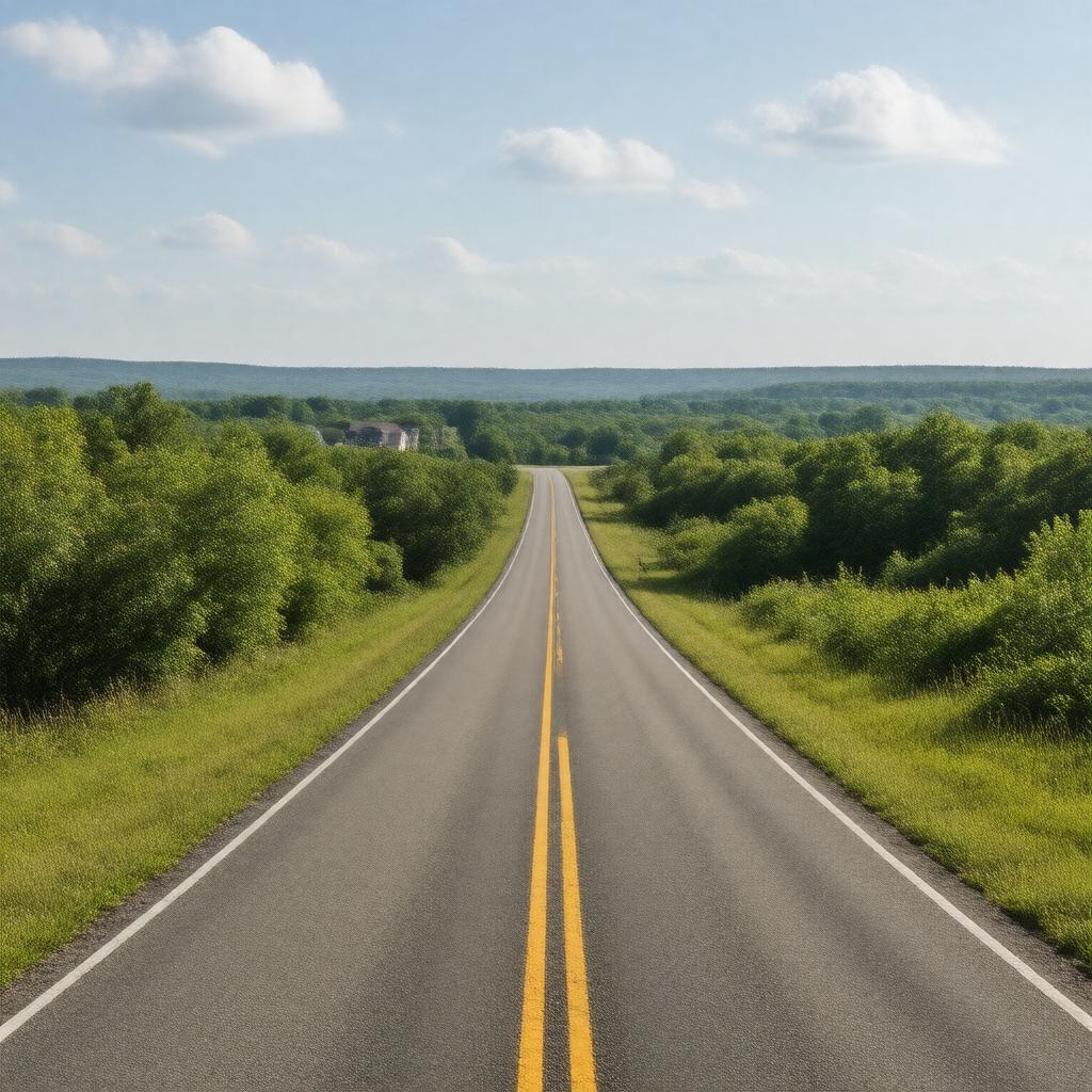
Maryland Route 97

GPTKB entity

Statements (60)
Predicate Object
gptkbp:instance_of gptkb:state_highway
gptkbp:designated_as gptkb:Scenic_Byway
gptkbp:ends_at gptkb:Maryland_Route_32
gptkbp:founded_in gptkb:1927
gptkbp:has_historical_significance Civil War routes
gptkbp:has_intersections_with gptkb:Maryland_Route_26
gptkb:Interstate_70
gptkb:Maryland_Route_32
gptkbp:has_rest_areas yes
https://www.w3.org/2000/01/rdf-schema#label Maryland Route 97
gptkbp:is_adjacent_to gptkb:Patapsco_Valley_State_Park
gptkb:Liberty_Reservoir
gptkbp:is_connected_to gptkb:Maryland_Route_27
gptkb:Maryland_Route_144
gptkb:Maryland_Route_85
gptkb:Maryland_Route_26_A
gptkb:Maryland_Route_97_A
gptkb:Maryland_Route_97_B
gptkb:Maryland_Route_97_C
gptkb:Maryland_Route_97_D
gptkb:Maryland_Route_97_E
gptkb:Maryland_Route_97_F
gptkb:Maryland_Route_97_G
gptkb:Maryland_Route_97_H
gptkbp:is_known_for gptkb:seasonal_events
community events
local festivals
scenic views
gptkbp:is_maintained_by gptkb:Maryland_State_Highway_Administration
gptkb:Maryland_Department_of_Transportation
gptkbp:is_notable_for historic landmarks
gptkbp:is_part_of National Highway System
regional transportation planning
local economic development plans
Frederick County road network
Carroll County road network
Howard County road network
Maryland's Scenic Byways
Maryland's road safety initiatives
Maryland's transportation infrastructure
gptkbp:is_popular_for hiking
biking
driving tours
gptkbp:is_used_by tourists
commuters
gptkbp:is_used_for local traffic
emergency services access
commercial traffic
gptkbp:length approximately 30 miles
gptkbp:located_in gptkb:Maryland
gptkbp:max_speed 55 mph
gptkbp:passes_through gptkb:Sykesville
gptkb:Mount_Airy
gptkb:Eldersburg
gptkbp:serves gptkb:Howard_County
Carroll County
gptkbp:starts_at gptkb:Maryland_Route_140
gptkbp:bfsParent gptkb:Silver_Spring,_Maryland
gptkb:U._S._Route_29
gptkbp:bfsLayer 4