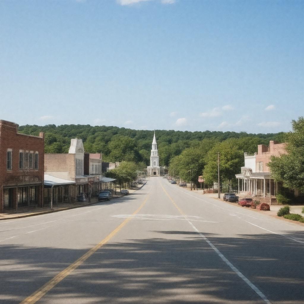
AI-created image
Statements (24)
| Predicate | Object |
|---|---|
| gptkbp:instanceOf |
gptkb:town
|
| gptkbp:areaCode |
601
769 |
| gptkbp:country |
gptkb:United_States
|
| gptkbp:county |
gptkb:Lauderdale_County
|
| gptkbp:elevation |
312 ft
|
| gptkbp:FIPS_code |
28-45400
|
| gptkbp:GNIS_feature_ID |
0672472
|
| gptkbp:governmentType |
Mayor–council
|
| gptkbp:incorporated |
1835
|
| gptkbp:landAreaSqMi |
4.3
|
| gptkbp:latitude |
32.4142
|
| gptkbp:locatedNear |
gptkb:Meridian,_Mississippi
|
| gptkbp:longitude |
-88.6467
|
| gptkbp:mayor |
gptkb:Larry_Gill
|
| gptkbp:population |
1667
|
| gptkbp:populationCensusYear |
2020
|
| gptkbp:state |
gptkb:Mississippi
|
| gptkbp:timezone |
gptkb:Central_Standard_Time
|
| gptkbp:waterAreaSqMi |
0.0
|
| gptkbp:zipCode |
39342
|
| gptkbp:bfsParent |
gptkb:Marion
|
| gptkbp:bfsLayer |
5
|
| http://www.w3.org/2000/01/rdf-schema#label |
Marion, Mississippi
|