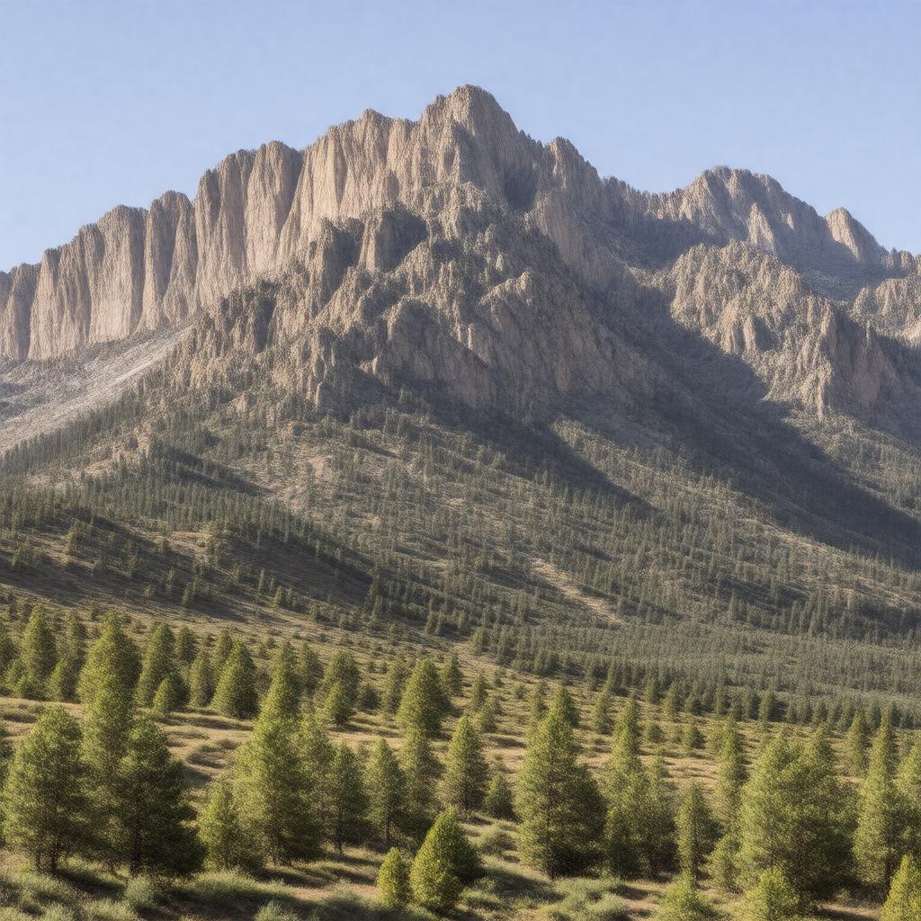
gptkbp:instanceOf
|
mountain range
|
gptkbp:climate
|
semi-arid
|
gptkbp:contains
|
gptkb:Langmuir_Laboratory_for_Atmospheric_Research
gptkb:Kelly_Ghost_Town
gptkb:Magdalena_Ranger_District
gptkb:Magdalena_Ridge_Observatory
gptkb:Water_Canyon
|
gptkbp:flora
|
gptkb:juniper
wood
ponderosa pine
piñon pine
|
gptkbp:geology
|
volcanic origin
|
gptkbp:highestPoint
|
gptkb:South_Baldy
10,783 ft
|
gptkbp:historicalName
|
mining
ranching
|
https://www.w3.org/2000/01/rdf-schema#label
|
Magdalena Mountains
|
gptkbp:knownFor
|
astronomical observatories
|
gptkbp:length
|
about 18 miles
|
gptkbp:locatedIn
|
gptkb:New_Mexico
gptkb:Socorro_County
gptkb:United_States
|
gptkbp:managedBy
|
gptkb:U.S._Forest_Service
|
gptkbp:mapType
|
gptkb:Magdalena_Peak
gptkb:South_Baldy
|
gptkbp:namedAfter
|
gptkb:Magdalena_Peak
|
gptkbp:nearby
|
gptkb:Socorro
gptkb:Very_Large_Array
|
gptkbp:nearestCity
|
gptkb:Socorro
gptkb:Magdalena
|
gptkbp:notableFeature
|
rugged terrain
steep canyons
|
gptkbp:numberOfTrails
|
gptkb:North_Baldy_Trail
gptkb:South_Baldy_Trail
gptkb:Water_Canyon_Trail
|
gptkbp:partOf
|
Cibola National Forest
|
gptkbp:popularFor
|
birdwatching
camping
hiking
|
gptkbp:protectedArea
|
gptkb:Magdalena_Mountains_Wilderness_Study_Area
|
gptkbp:route
|
hiking
|
gptkbp:width
|
about 8 miles
|
gptkbp:wildlife
|
gptkb:elk
gptkb:lion
gptkb:meat
black bear
mule deer
|
gptkbp:bfsParent
|
gptkb:Langmuir_Laboratory_for_Atmospheric_Research
|
gptkbp:bfsLayer
|
4
|