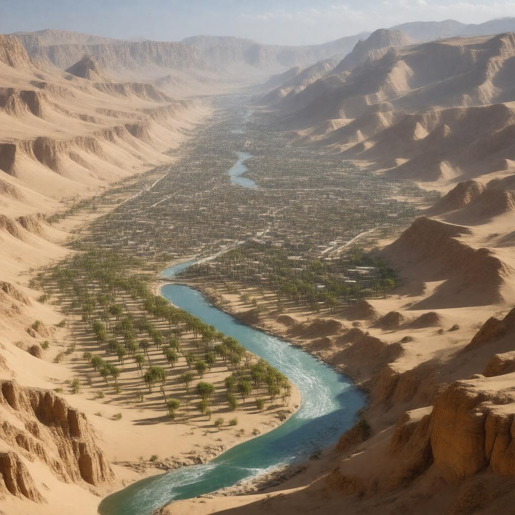
AI-created image
Statements (30)
| Predicate | Object |
|---|---|
| gptkbp:instanceOf |
gptkb:valley
|
| gptkbp:area |
about 400 km²
|
| gptkbp:climate |
arid
|
| gptkbp:coordinates |
32°29′N 3°40′E
|
| gptkbp:elevation |
about 500 m
|
| gptkbp:ethnicGroup |
gptkb:Mozabite_people
|
| gptkbp:featureType |
gptkb:Sahara_Desert
|
| gptkbp:foundedBy |
gptkb:Mozabites
|
| gptkbp:heritageDesignation |
Cultural
|
| gptkbp:languageSpoken |
gptkb:Mozabite
|
| gptkbp:locatedIn |
gptkb:Algeria
gptkb:Ghardaïa_Province |
| gptkbp:notableCity |
gptkb:Beni_Isguen
gptkb:Berriane gptkb:Bou_Noura gptkb:El_Atteuf gptkb:Ghardaïa Melika |
| gptkbp:notableFor |
gptkb:architectural_style
fortified cities unique urban planning |
| gptkbp:religion |
gptkb:Ibadi_Islam
|
| gptkbp:river |
gptkb:Wadi_Mzab
|
| gptkbp:UNESCO_criteria |
(ii) (iii) (v)
|
| gptkbp:UNESCOWorldHeritageSite |
188
1982 yes |
| gptkbp:bfsParent |
gptkb:Ibadi
|
| gptkbp:bfsLayer |
5
|
| http://www.w3.org/2000/01/rdf-schema#label |
M'zab Valley
|