gptkbp:instance_of
|
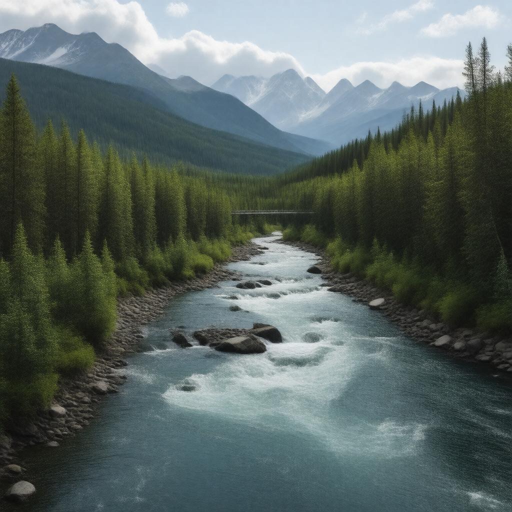
gptkb:river
|
gptkbp:borders
|
gptkb:British_Columbia
gptkb:Northwest_Territories
gptkb:Yukon
|
gptkbp:climate
|
subarctic climate
|
gptkbp:conservation
|
protected areas
|
gptkbp:crosses
|
gptkb:Alaska_Highway
gptkb:Liard_Highway
|
gptkbp:cultural_significance
|
local communities
|
gptkbp:discharge
|
1,000 cubic meters per second
|
gptkbp:drainage_basin
|
Liard River Basin
|
gptkbp:ecosystem
|
freshwater ecosystem
|
gptkbp:environment
|
boreal forest
|
gptkbp:fish_species
|
gptkb:trout
pike
whitefish
|
gptkbp:flood_control
|
seasonal flooding
|
gptkbp:flows_into
|
gptkb:Liard_River_Hot_Springs_Provincial_Park
|
gptkbp:geography
|
mountainous terrain
|
gptkbp:geological_formation
|
sedimentary rocks
|
gptkbp:historical_significance
|
gptkb:Native_American_culture
fur trade routes
|
https://www.w3.org/2000/01/rdf-schema#label
|
Liard River
|
gptkbp:hydrology
|
part of Mackenzie River system
|
gptkbp:known_for
|
gptkb:hot_springs
|
gptkbp:land_use
|
gptkb:tourism
recreational use
resource extraction
|
gptkbp:length
|
1,200 kilometers
|
gptkbp:location
|
gptkb:Canada
|
gptkbp:major_city
|
gptkb:Fort_Liard
gptkb:Watson_Lake
|
gptkbp:mouth
|
gptkb:Mackenzie_River
|
gptkbp:recreation
|
fishing
wildlife viewing
canoeing
|
gptkbp:seasonal_activities
|
high flow in spring
ice cover in winter
fall colors in autumn
low flow in summer
|
gptkbp:source
|
gptkb:Liard_Pass
|
gptkbp:survivability
|
partially navigable
|
gptkbp:tourist_attraction
|
gptkb:Liard_River_Hot_Springs
scenic viewpoints
wildlife parks
|
gptkbp:transportation
|
recreational boating
important for local transport
used for freight transport
|
gptkbp:tributary_of
|
gptkb:Mackenzie_River
|
gptkbp:water_quality
|
varies by season
|
gptkbp:wildlife
|
gptkb:moose
eagles
bears
|
gptkbp:bfsParent
|
gptkb:Mackenzie_River
|
gptkbp:bfsLayer
|
4
|