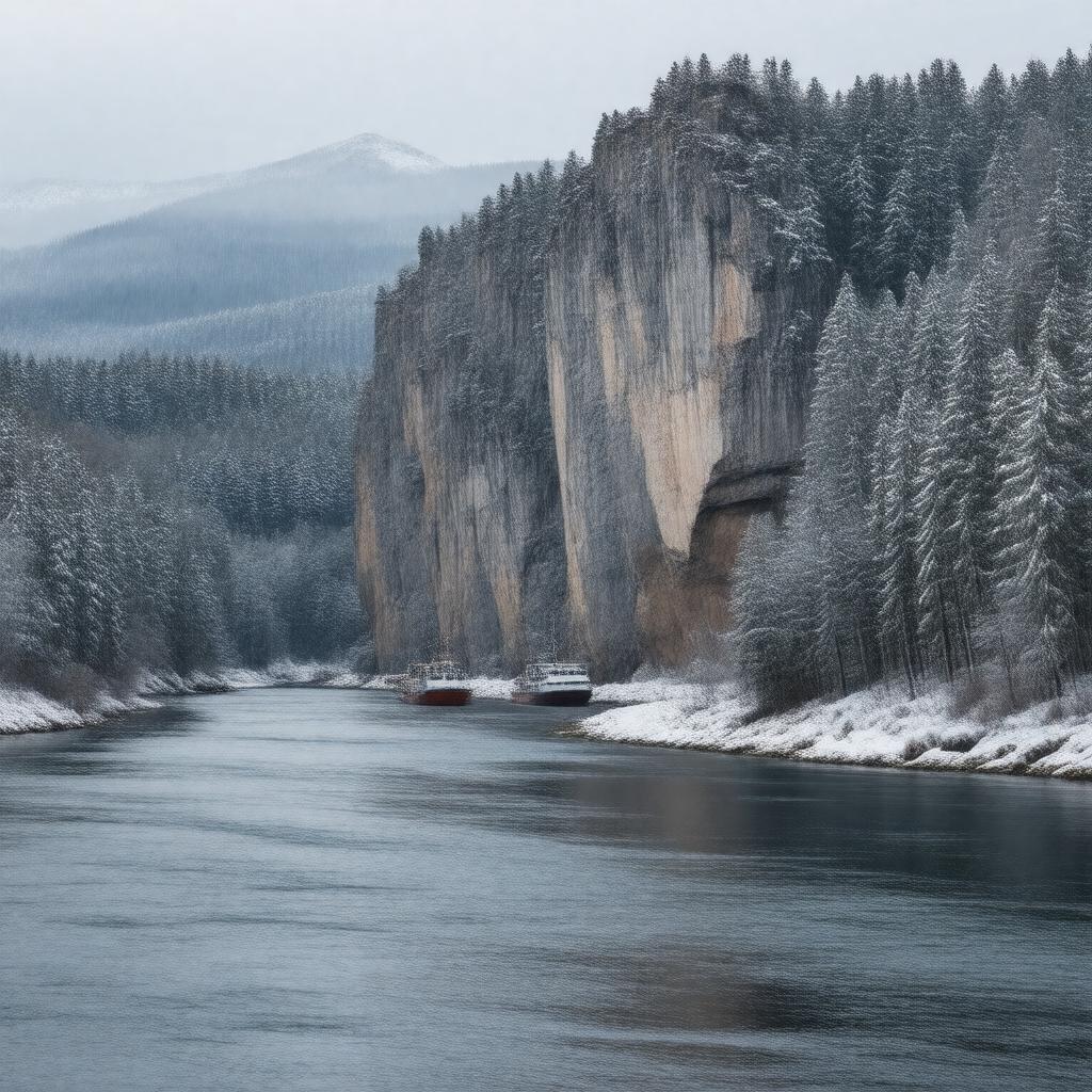
gptkbp:instanceOf
|
gptkb:river
|
gptkbp:basinSize
|
gptkb:Lena_Basin
2,490,000 km²
|
gptkbp:climate
|
subarctic
|
gptkbp:country
|
gptkb:Russia
|
gptkbp:deltaArea
|
32,000 km²
|
gptkbp:deltaType
|
Arctic delta
|
gptkbp:dischargeAverage
|
16,400 m³/s
|
gptkbp:economicImportance
|
gptkb:bus_route
fishing
timber floating
|
gptkbp:ecosystem
|
gptkb:East_Siberian_taiga
|
gptkbp:emptiesInto
|
gptkb:Arctic_Ocean
|
gptkbp:fauna
|
gptkb:fish
|
gptkbp:flowsThrough
|
gptkb:Laptev_Sea
gptkb:Krasnoyarsk_Krai
gptkb:Sakha_Republic
gptkb:Irkutsk_Oblast
|
gptkbp:frozenPeriod
|
October to May
|
gptkbp:hasDelta
|
yes
|
gptkbp:historicalExploration
|
explored by Pyotr Beketov in 17th century
|
https://www.w3.org/2000/01/rdf-schema#label
|
Lena River
|
gptkbp:latitudeAtMouth
|
about 72°N
|
gptkbp:length
|
4,400 km
|
gptkbp:locatedIn
|
gptkb:Russia
|
gptkbp:longitudeAtMouth
|
about 126°E
|
gptkbp:mainTributary
|
gptkb:Aldan_River
gptkb:Kirenga_River
gptkb:Olyokma_River
gptkb:Vilyuy_River
gptkb:Vitim_River
|
gptkbp:majorCity
|
gptkb:Kirensk
gptkb:Lensk
gptkb:Olyokminsk
gptkb:Ust-Kut
gptkb:Yakutsk
|
gptkbp:mapType
|
Lena_River_map.png
|
gptkbp:mouth
|
gptkb:Laptev_Sea
|
gptkbp:namedAfter
|
possibly from the Evenki word "Elyu-Ene"
|
gptkbp:navigable
|
yes
|
gptkbp:notableFeature
|
gptkb:Lena_Pillars
|
gptkbp:partOf
|
gptkb:Siberia
|
gptkbp:protectedArea
|
gptkb:Lena_Pillars_Nature_Park
|
gptkbp:rankByDischarge
|
3rd largest river in Russia by discharge
|
gptkbp:rankByLength
|
11th longest river in the world
|
gptkbp:region
|
gptkb:Eastern_Siberia
|
gptkbp:source
|
gptkb:Baikal_Mountains
|
gptkbp:tributaryOf
|
not a tributary
|
gptkbp:UNESCOWorldHeritageSite
|
gptkb:Lena_Pillars
|
gptkbp:דת
|
gptkb:Lena_Delta
|
gptkbp:bfsParent
|
gptkb:Russian_Federation
gptkb:Якутск
|
gptkbp:bfsLayer
|
4
|