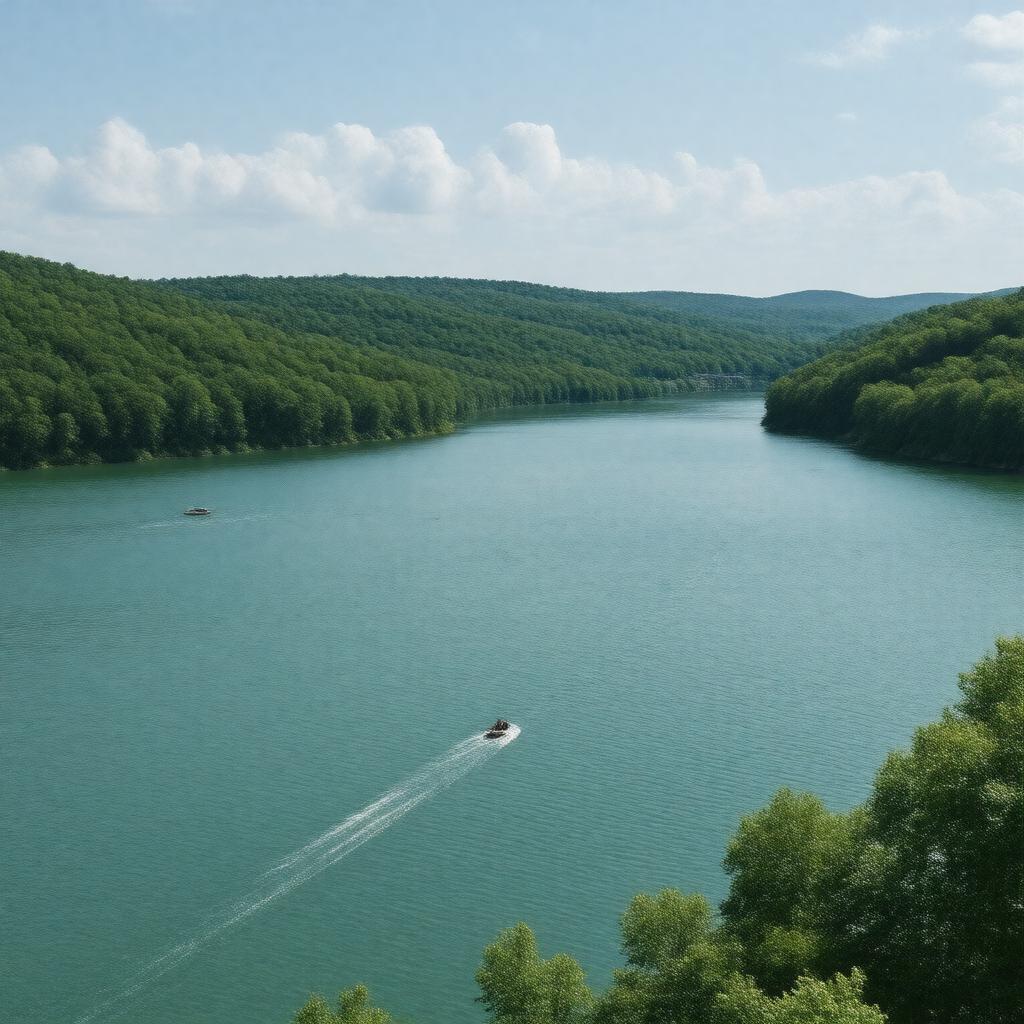
gptkbp:instance_of
|
gptkb:lake
|
gptkbp:annual_event
|
gptkb:Aquapalooza
gptkb:Lake_of_the_Ozarks_Bikefest
gptkb:Lake_of_the_Ozarks_Shootout
Magic Dragon Street Meet
|
gptkbp:area
|
54,000 acres
|
gptkbp:average_rainfall
|
40 inches
|
gptkbp:average_temperature
|
60° F
|
gptkbp:climate
|
humid subtropical
|
gptkbp:created_by
|
gptkb:Osage_River
|
gptkbp:dam
|
gptkb:Bagnell_Dam
|
gptkbp:depth
|
130 feet
|
gptkbp:economic_impact
|
gptkb:tourism
gptkb:hospitality
gptkb:real_estate
recreational services
|
gptkbp:elevation
|
660 feet
|
gptkbp:established
|
1931
|
gptkbp:historical_significance
|
impact on local economy
development of tourism in the 1960s
Bagnell Dam construction
Osage River flooding control
growth of recreational activities
|
https://www.w3.org/2000/01/rdf-schema#label
|
Lake of the Ozarks
|
gptkbp:infrastructure
|
gptkb:Lake_Ozark_Bridge
gptkb:Bagnell_Dam
gptkb:Route_5
Highway 54
|
gptkbp:length
|
92 miles
|
gptkbp:location
|
gptkb:Missouri
|
gptkbp:popular_activities
|
gptkb:swimming
fishing
hiking
boating
water skiing
|
gptkbp:primary_use
|
gptkb:recreation
flood control
|
gptkbp:recreation
|
gptkb:Finger_Lakes_State_Park
gptkb:Pomme_de_Terre_Lake
gptkb:Lake_of_the_Ozarks_State_Park
gptkb:Mark_Twain_National_Forest
gptkb:Ha_Ha_Tonka_State_Park
|
gptkbp:surrounding_cities
|
gptkb:Lake_Ozark
Gravois Mills
Osage Beach
Sunrise Beach
Camdenton
|
gptkbp:tourist_attraction
|
gptkb:Big_Surf_Waterpark
gptkb:Lake_of_the_Ozarks_State_Park
gptkb:Lodge_of_the_Four_Seasons
gptkb:Osage_Beach_Premium_Outlets
gptkb:Ozarks_Amphitheater
gptkb:Bridal_Cave
gptkb:Lake_of_the_Ozarks_Golf_Club
gptkb:Ha_Ha_Tonka_State_Park
|
gptkbp:water_quality
|
monitored
clean
safe for recreation
|
gptkbp:width
|
5 miles
|
gptkbp:wildlife
|
gptkb:deer
gptkb:fish_species
gptkb:waterfowl
bald eagles
wild turkeys
|
gptkbp:bfsParent
|
gptkb:Missouri
|
gptkbp:bfsLayer
|
4
|