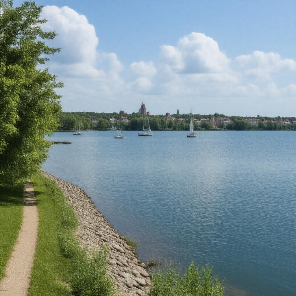
gptkbp:instanceOf
|
gptkb:lake
|
gptkbp:country
|
gptkb:United_States
|
gptkbp:elevation
|
258 meters
|
gptkbp:hasBoatRamp
|
gptkb:James_Madison_Park
gptkb:Marshall_Park
gptkb:Merrill_Springs_Park
gptkb:Spring_Harbor_Park
gptkb:Tenney_Park
gptkb:Warner_Park
|
gptkbp:hasCoastline
|
33.8 kilometers
|
gptkbp:hasFishSpecies
|
gptkb:fish
marina
crappie
northern pike
smallmouth bass
walleye
yellow perch
bluegill
muskellunge
|
gptkbp:hasIsland
|
gptkb:Picnic_Point
gptkb:Governor's_Island
gptkb:Frautschi_Point
Second Point
|
gptkbp:hasRecreation
|
gptkb:Picnic_Point
gptkb:Governor_Nelson_State_Park
gptkb:James_Madison_Park
gptkb:Marshall_Park
gptkb:Spring_Harbor_Park
gptkb:Tenney_Park
gptkb:Warner_Park
|
gptkbp:hasResearchCenter
|
gptkb:UW_Center_for_Limnology
|
https://www.w3.org/2000/01/rdf-schema#label
|
Lake Mendota
|
gptkbp:inflow
|
gptkb:Yahara_River
|
gptkbp:locatedIn
|
gptkb:Madison,_Wisconsin
gptkb:Dane_County,_Wisconsin
|
gptkbp:managedBy
|
gptkb:Wisconsin_Department_of_Natural_Resources
|
gptkbp:maximumDepth
|
12.8 meters
25.3 meters
|
gptkbp:nearby
|
gptkb:University_of_Wisconsin–Madison
|
gptkbp:nearestCity
|
gptkb:Madison
gptkb:Westport
gptkb:Maple_Bluff
gptkb:Middleton
gptkb:Shorewood_Hills
|
gptkbp:notableFor
|
limnological research
|
gptkbp:outflow
|
gptkb:Yahara_River
|
gptkbp:partOf
|
gptkb:Yahara_River_Chain_of_Lakes
|
gptkbp:popularFor
|
boating
fishing
ice skating
sailing
|
gptkbp:surface
|
3939 hectares
|
gptkbp:bfsParent
|
gptkb:Madison,_Wisconsin,_United_States
|
gptkbp:bfsLayer
|
4
|