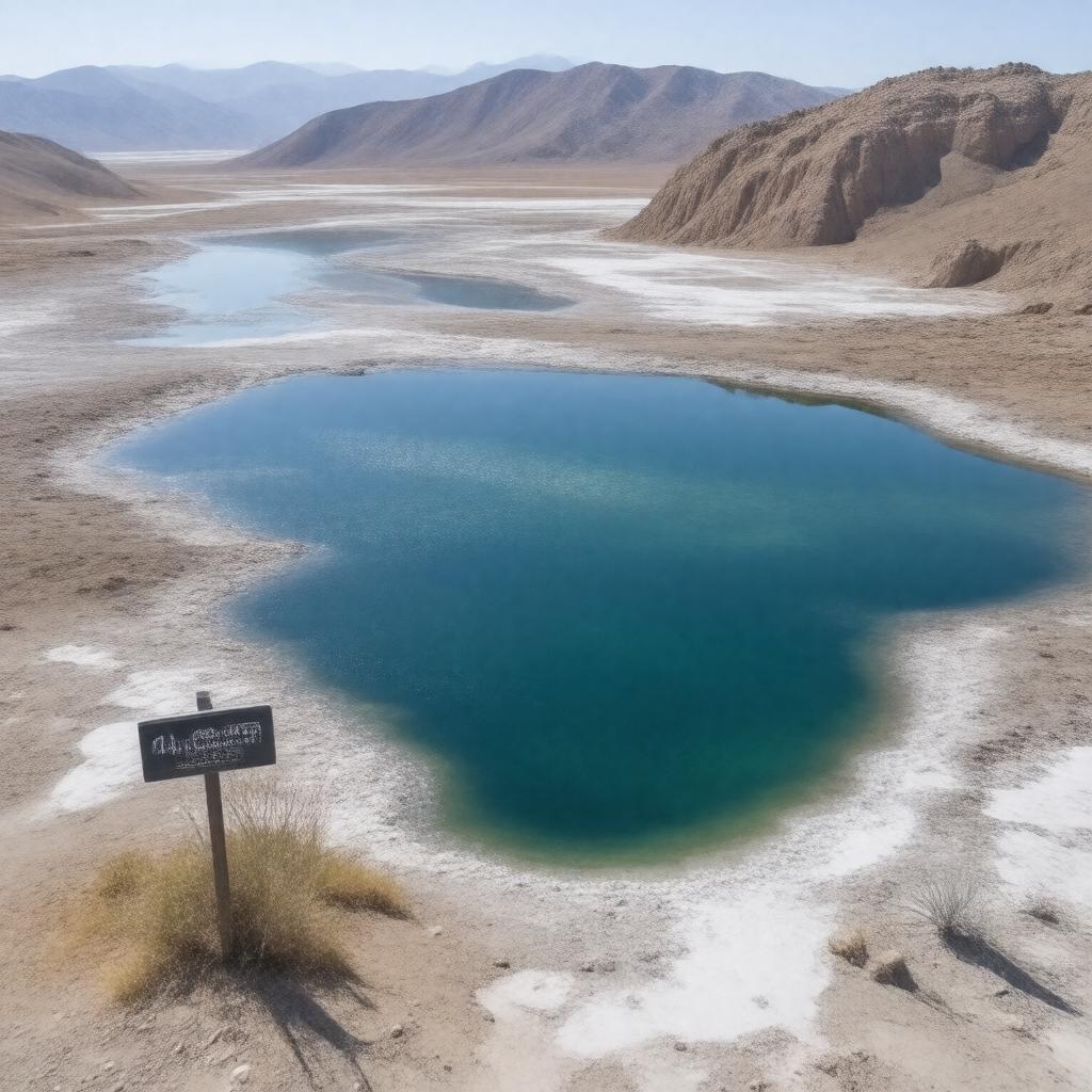
AI-created image
Statements (28)
| Predicate | Object |
|---|---|
| gptkbp:instanceOf |
gptkb:lake
|
| gptkbp:area |
375 square kilometers
|
| gptkbp:elevation |
-44 meters
|
| gptkbp:hasIsland |
gptkb:Isla_Barbarita
gptkb:Isla_Cabritos gptkb:Isla_Islita |
| gptkbp:hasSpecies |
gptkb:American_crocodile
flamingos iguanas |
| gptkbp:locatedIn |
gptkb:Dominican_Republic
gptkb:Hispaniola gptkb:Bahoruco_Province gptkb:Barahona_Province gptkb:Independencia_Province |
| gptkbp:namedAfter |
gptkb:Enriquillo
|
| gptkbp:notableFor |
largest lake in the Caribbean
largest lake in the Dominican Republic lowest point in the Caribbean |
| gptkbp:outflow |
endorheic (no outflow)
|
| gptkbp:partOf |
gptkb:Enriquillo_Valley
|
| gptkbp:protectedBy |
gptkb:Lago_Enriquillo_National_Park
|
| gptkbp:salinity |
higher than seawater
|
| gptkbp:type |
gptkb:hypersaline_lake
|
| gptkbp:UNESCOBiosphereReserve |
gptkb:Jaragua-Bahoruco-Enriquillo_Biosphere_Reserve
|
| gptkbp:bfsParent |
gptkb:Hispaniola
gptkb:island_of_Hispaniola |
| gptkbp:bfsLayer |
5
|
| http://www.w3.org/2000/01/rdf-schema#label |
Lake Enriquillo
|