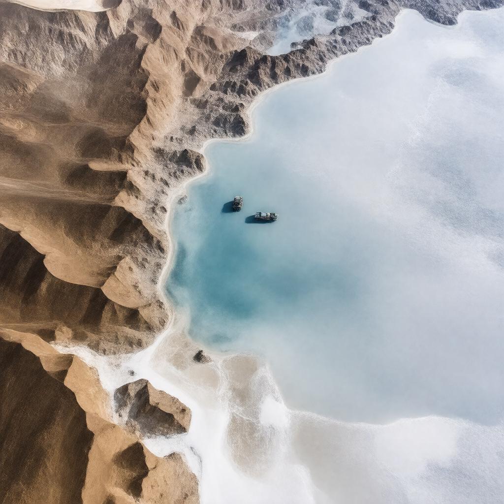
AI-created image
Statements (27)
| Predicate | Object |
|---|---|
| gptkbp:instanceOf |
gptkb:lake
|
| gptkbp:basinCountry |
gptkb:Djibouti
|
| gptkbp:country |
gptkb:Djibouti
|
| gptkbp:elevation |
-155 meters
|
| gptkbp:inflow |
gptkb:hot_springs
underground streams |
| gptkbp:length |
19 km
|
| gptkbp:locatedIn |
gptkb:Djibouti
gptkb:Afar_Triangle East Africa |
| gptkbp:lowestPoint |
gptkb:Africa
|
| gptkbp:mainEconomicActivity |
salt mining
|
| gptkbp:nearestCity |
gptkb:Tadjoura
|
| gptkbp:notableFor |
salt flats
tourism unique ecosystem |
| gptkbp:outflow |
evaporation
|
| gptkbp:protectedArea |
gptkb:wetlands
|
| gptkbp:salinity |
extremely high
|
| gptkbp:salinityRank |
one of the saltiest bodies of water in the world
|
| gptkbp:surface |
54 km²
|
| gptkbp:type |
gptkb:volcanic_activity
|
| gptkbp:UNESCO_tentative_list |
yes
|
| gptkbp:width |
7 km
|
| gptkbp:bfsParent |
gptkb:Africa
|
| gptkbp:bfsLayer |
4
|
| http://www.w3.org/2000/01/rdf-schema#label |
Lake Assal
|