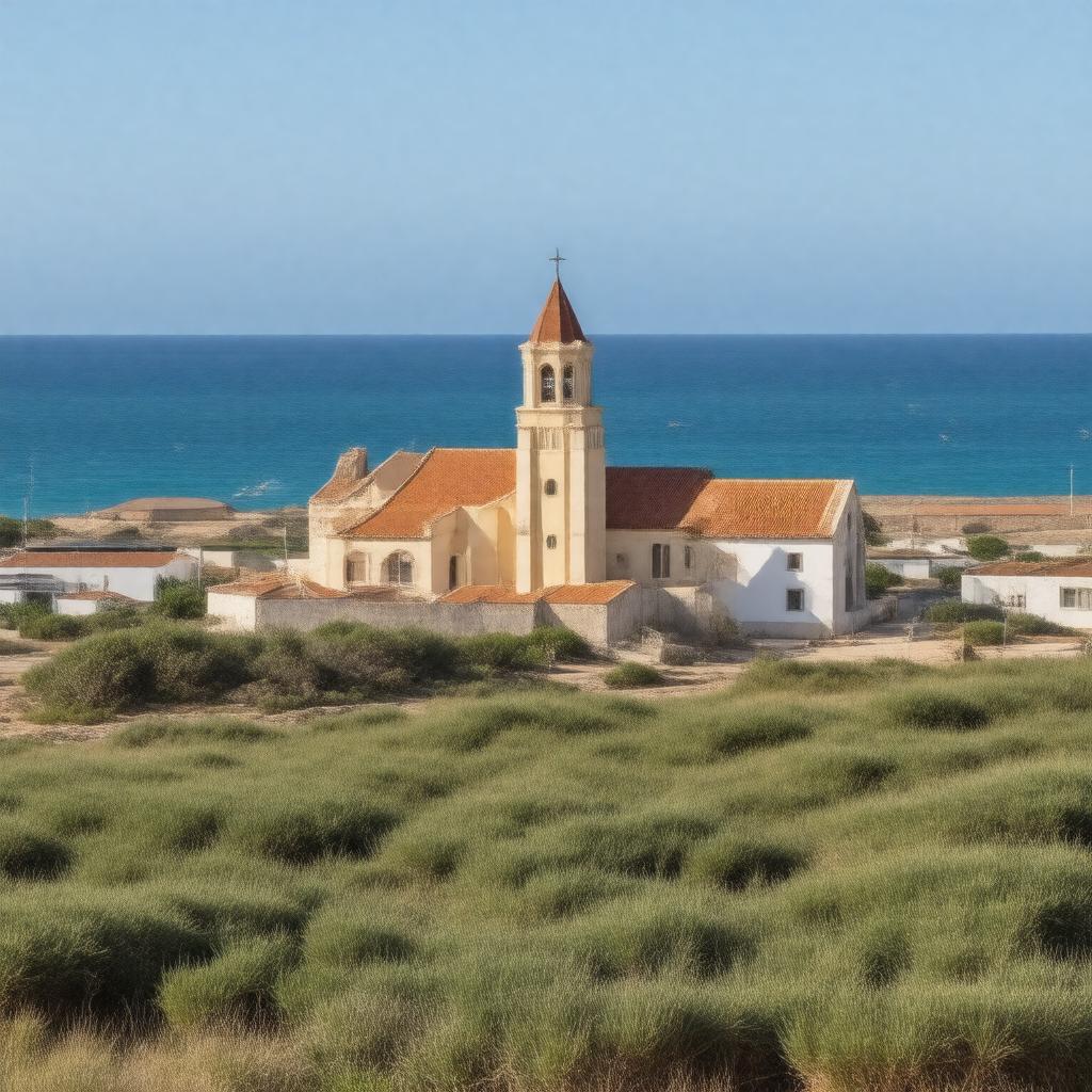
Properties (46)
Predicate | Object |
---|---|
gptkbp:instanceOf |
town
|
gptkbp:area |
approximately 1,000 km²
|
gptkbp:attraction |
gptkb:Shark_Island
Kolmanskop Ghost Town |
gptkbp:borders |
gptkb:Atlantic_Ocean
|
gptkbp:climate |
desert climate
|
gptkbp:culturalInfluence |
German_culture
Namibian_culture |
gptkbp:demographics |
predominantly_English-speaking
predominantly_German-speaking predominantly_Afrikaans-speaking |
gptkbp:economy |
fishing industry
tourism |
gptkbp:education |
Lüderitz_Primary_School
Lüderitz_Secondary_School |
gptkbp:elevation |
approximately 20 m above sea level
|
gptkbp:established |
trading post
|
gptkbp:events |
Lüderitz_Crayfish_Festival
|
gptkbp:features |
German_colonial_architecture
|
gptkbp:founded |
1883
|
gptkbp:geographicalFeature |
coastal town
near_the_Namib_Desert near_the_Sperrgebiet_National_Park |
gptkbp:governs |
local municipality
part_of_Karas_Regional_Council |
gptkbp:hasFieldOfUse |
Lüderitz_Harbour
|
gptkbp:healthcare |
Lüderitz_State_Hospital
|
gptkbp:historicalEvent |
World_War_I_impact
World_War_II_impact German_annexation_in_1884 independence_of_Namibia_in_1990 |
gptkbp:historicalSignificance |
gptkb:German_South_West_Africa
|
https://www.w3.org/2000/01/rdf-schema#label |
Lüderitz
|
gptkbp:knownFor |
diamond mining
|
gptkbp:locatedIn |
gptkb:Namibia
|
gptkbp:namedAfter |
Adolf_Lüderitz
|
gptkbp:partOf |
Karas_Region
|
gptkbp:population |
approximately 13,000
|
gptkbp:postalCode |
9000
|
gptkbp:sport |
football clubs
rugby clubs |
gptkbp:timeZone |
UTC+2
|
gptkbp:touristAttraction |
Felsenkirche_(Rock_Church)
Lüderitz_Waterfront |
gptkbp:transportation |
road access to Keetmanshoop
railway_access_to_Aus |