Kogarah, New South Wales, Australia

GPTKB entity
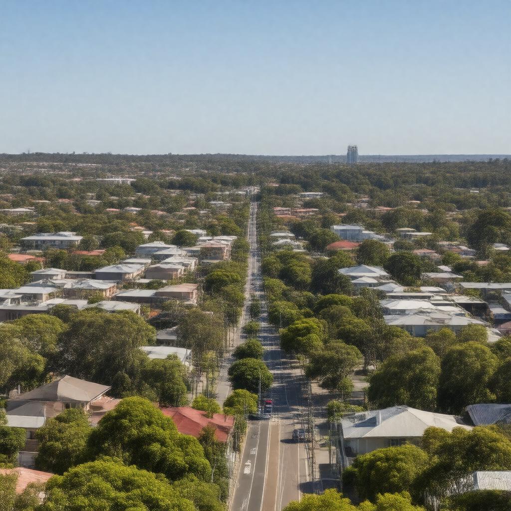
Statements (48)
Predicate Object
gptkbp:instanceOf town
gptkbp:area approximately 4.2 square kilometers
gptkbp:climate temperate climate
average rainfall of 1,200 mm
average temperature of 16-25 °C
gptkbp:coordinates 33.9667° S, 151.1333° E
gptkbp:culturalEvents gptkb:Kogarah_Community_Markets
gptkb:Kogarah_Festival
Kogarah_Christmas_Carols
gptkbp:demographics diverse population
predominantly residential
growing multicultural community
gptkbp:economy healthcare
education
retail
gptkbp:education gptkb:St._Joseph's_College,_Kogarah
gptkb:Kogarah_High_School
gptkb:Kogarah_Public_School
St. George Girls High School
gptkbp:elevation approximately 20 meters
gptkbp:established 1836
gptkbp:famousLandmark gptkb:St._George_Hospital
gptkb:Kogarah_Golf_Club
gptkb:Kogarah_Park
gptkb:Kogarah_Town_Centre
gptkbp:historicalSignificance railway development in the 1880s
early_European_settlement
development_of_the_St._George_area
https://www.w3.org/2000/01/rdf-schema#label Kogarah, New South Wales, Australia
gptkbp:localGovernment gptkb:Georges_River_Council
gptkbp:locatedIn gptkb:New_South_Wales
gptkbp:partOf gptkb:Georges_River_Council
gptkbp:population approximately 20,000
gptkbp:postalCode 2217
gptkbp:recreation gptkb:Kogarah_Golf_Club
gptkb:Kogarah_Park
community events
local sports clubs
parks and playgrounds
gptkbp:surroundings gptkb:Rockdale
gptkb:Carlton
Hurstville
Sans Souci
Beverley_Park
gptkbp:transportation gptkb:Kogarah_railway_station
bus services
major roads access
proximity_to_Sydney_CBD