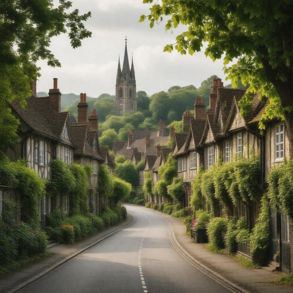
Knutsford, Cheshire, England
GPTKB entity

AI-created image
Statements (23)
| Predicate | Object |
|---|---|
| gptkbp:instanceOf |
gptkb:town
|
| gptkbp:areaCode |
WA
|
| gptkbp:civilParish |
gptkb:Knutsford
|
| gptkbp:country |
gptkb:United_Kingdom
|
| gptkbp:dialCode |
01565
|
| gptkbp:distance |
Chester (23 miles north-east)
Manchester (14 miles south-west) |
| gptkbp:lieutenancyArea |
gptkb:Cheshire
|
| gptkbp:locatedIn |
gptkb:England
gptkb:Cheshire |
| gptkbp:notableLandmark |
gptkb:Knutsford_railway_station
gptkb:Tatton_Park |
| gptkbp:notablePerson |
gptkb:Elizabeth_Gaskell
|
| gptkbp:osGridReference |
SJ752780
|
| gptkbp:parliamentaryConstituency |
gptkb:Tatton
|
| gptkbp:population |
13,191 (2011 Census)
|
| gptkbp:postcodeDistrict |
WA16
|
| gptkbp:region |
gptkb:North_West_England
|
| gptkbp:twinTown |
gptkb:Montmorency,_France
|
| gptkbp:unitaryAuthority |
gptkb:Cheshire_East
|
| gptkbp:bfsParent |
gptkb:Elizabeth_Gaskell
|
| gptkbp:bfsLayer |
4
|
| http://www.w3.org/2000/01/rdf-schema#label |
Knutsford, Cheshire, England
|